Durazno Department, Administrative department in central Uruguay
Durazno Department is an administrative region in central Uruguay with rolling plains situated between two river valleys. Fertile soil and agricultural production define the character of the territory.
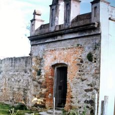
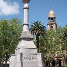
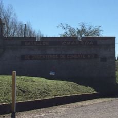
The region was established in 1827 when a military post was created there. This founding marked the start of organized settlement and administration in the area.
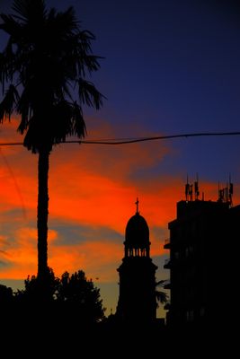
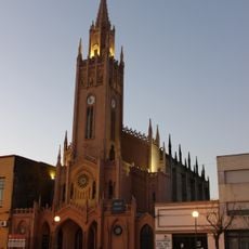
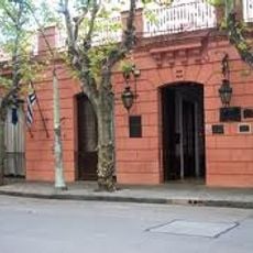
Agriculture shapes daily life here, with farming practices and rural traditions visible in how people work the land and build community. The Church of San Pedro stands as a gathering place that defines the heart of the region.
The region is easily reached through two main highways that intersect here and connect to surrounding areas. An international airport provides an additional arrival option.
The name refers to the Spanish word for peach, reflecting the area's long history of fruit cultivation. This agricultural connection remains visible today in the region's cultivated fields.
Inception: 1822
Capital city: Durazno
Elevation above the sea: 143 m
Part of: South America Midwest Integrated Zone
Shares border with: Tacuarembó Department, Flores Department, Florida Department, Treinta y Tres Department, Río Negro Department, Cerro Largo Department
Website: https://durazno.gub.uy
GPS coordinates: -33.04278,-56.02806
Latest update: December 23, 2025 08:33
Rincón del Caqute
43.6 km
Represa de Baygorria
75 km
Palace Cave
106.2 km
Faro de Rincón del Bonete
43.8 km
Capilla Farruco
92.5 km
Monument to Christopher Columbus
59.4 kmMuseo Abierto de Artes Visuales
50.7 km
Santa Isabel, Paso de los Toros
51.8 km
Faro Torre de Gaboto
62.9 km
Casa de Rivera, Durazno
59.5 kmCerro de las Minas
32.3 kmRepresa Doctor Gabriel Terra
43.3 km
Centro de detención del Grupo de Artillería No 3
51.7 kmAparicio Saravia Museum
79.1 kmMuseo Militar Tte. Gral. Pablo Galarza
59.8 kmCentral Museum of the Dr. Gabriel Terra Hydroelectricc Dam
43.7 km
Centro de detención del Batallón de Ingenieros No. 3
52.2 kmPaso de los Toros
53.6 kmGeopark Bartolomé Hidalgo
107.7 kmCapilla de Farruco
56.1 kmLa Tacuara
20.7 kmSarandí del Yi
50.7 kmGeoparque Grutas del Palacio
107.3 kmPlaya santa isabel
52.5 kmPlaya el sauce
50.8 kmPlaya la picada
50.6 kmPlaya el sausal
57.8 kmCamping
50.6 kmVisited this place? Tap the stars to rate it and share your experience / photos with the community! Try now! You can cancel it anytime.
Discover hidden gems everywhere you go!
From secret cafés to breathtaking viewpoints, skip the crowded tourist spots and find places that match your style. Our app makes it easy with voice search, smart filtering, route optimization, and insider tips from travelers worldwide. Download now for the complete mobile experience.
A unique approach to discovering new places❞
— Le Figaro
All the places worth exploring❞
— France Info
A tailor-made excursion in just a few clicks❞
— 20 Minutes