
Floresta, municipality of Paraná, Brazil
Location: Paraná
Elevation above the sea: 368 m
Shares border with: Maringá, Itambé, Doutor Camargo, Engenheiro Beltrão, Ivatuba, Marialva, Paiçandu
GPS coordinates: -23.59889,-52.08083
Latest update: March 4, 2025 07:38
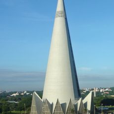
Cathedral of Maringá
24.1 km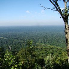
Morro do Diabo State Park
121.8 km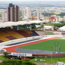
Estádio Willie Davids
25.2 km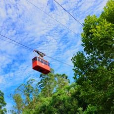
Telêmaco Borba Cable Car
169.1 km
Perobas Biological Reserve
73.9 km
Concha acústica de Londrina
99.5 km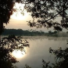
Rio Ivinhema State Park
177.3 km
Parque Ecológico Samuel Klabin
170 km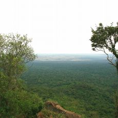
Morro do Diabo
123.2 km
Great Pontal Reserve
155.4 km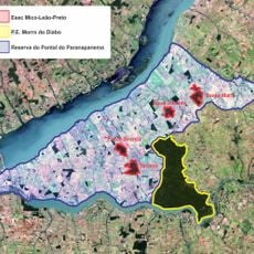
Mico Leão Preto Ecological Station
110.8 km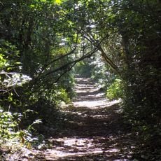
Ibiporã State Park
113.8 km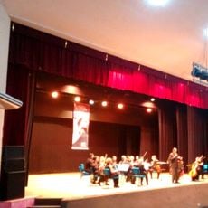
Teatro Municipal de Telêmaco Borba
169.1 km
Natural History Museum of Cornélio Procópio
153.4 km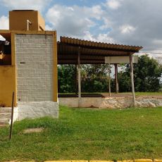
Pirapozinho
158.1 km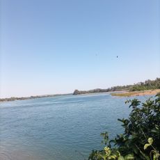
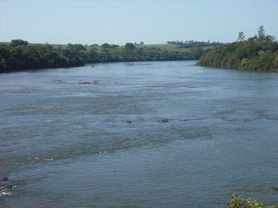
Encontro dos Rios
147.2 km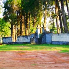
Cemetery of Harmonia
170.2 km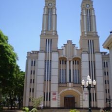
Cathedral of St. Joseph, Campo Mourão
58 km
Praça Rocha Pombo
99.5 km
Capela Santa Cruz
23.5 km
Planetário de Londrina
98.7 km
Cineflix Aurora Shopping
96.8 km
Capela de Nossa Senhora do Perpétuo Socorro de Harmonia (Telêmaco Borba)
169.3 km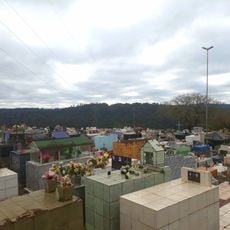
Cemetery São Marcos (Telêmaco Borba)
170.9 km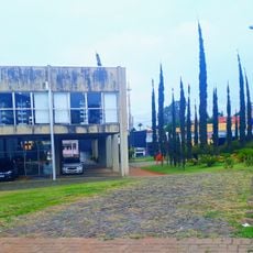
Biblioteca Pública Municipal de Telêmaco Borba
169.1 km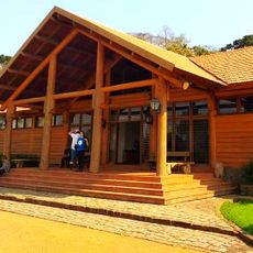
Centro de Interpretação da Natureza Frans Krajcberg
170 km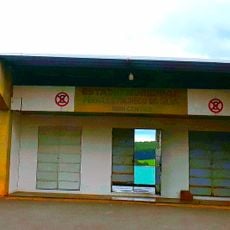
Estádio Municipal Péricles Pacheco da Silva
170.1 km
Museu da Fauna e da Flora
169.9 kmReviews
Visited this place? Tap the stars to rate it and share your experience / photos with the community! Try now! You can cancel it anytime.
Discover hidden gems everywhere you go!
From secret cafés to breathtaking viewpoints, skip the crowded tourist spots and find places that match your style. Our app makes it easy with voice search, smart filtering, route optimization, and insider tips from travelers worldwide. Download now for the complete mobile experience.

A unique approach to discovering new places❞
— Le Figaro
All the places worth exploring❞
— France Info
A tailor-made excursion in just a few clicks❞
— 20 Minutes