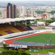
Maringá, Municipality in Paraná, Brazil
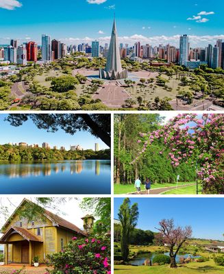
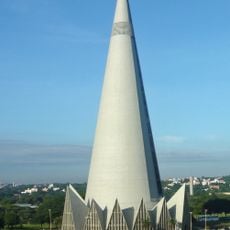
Maringá is a municipality in Paraná state that sits on a plateau at 515 meters elevation and features wide avenues with continuous tree coverage. The urban area spreads over a large territory with public parks and green streets that define its overall appearance.
The British company Northern Paraná Land Company founded the settlement in 1947 as a planned city to support the expanding coffee cultivation in the region. Later, it developed into an independent municipality with growing population and economic diversification.
In the city center, gardens and restaurants reflect the Japanese immigration that continues to shape street life and dining habits today. During festivals, these influences become especially visible through music, dance, and food offerings that form part of everyday life.
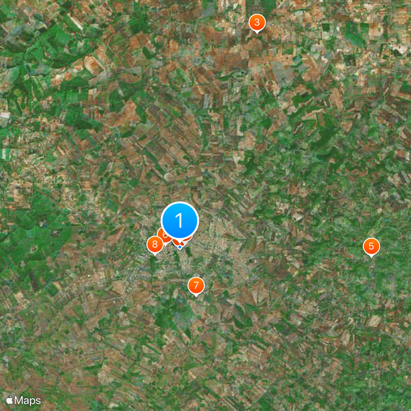
The regional airport offers connections to larger Brazilian cities, while the road network provides direct routes to São Paulo and Curitiba. Within the urban area, public transport operates, and orientation is straightforward thanks to the grid layout of the avenues.
The urban area includes 17 protected forest patches with native vegetation that together cover about 36 hectares (90 acres) and serve as green corridors between residential neighborhoods. These fragments remain in their natural state and host local wildlife and plant species within the settled space.
Location: Paraná
Inception: May 10, 1947
Elevation above the sea: 515 m
Shares border with: Ângulo, Floresta, Paiçandu, Sarandi, Astorga, Doutor Camargo, Iguaraçu, Ivatuba, Mandaguaçu, Marialva
Website: http://maringa.pr.gov.br
GPS coordinates: -23.42500,-51.93889
Latest update: December 4, 2025 19:01
Cathedral of Maringá
159 m
Ody Park Aquático
25.9 km
Morro do Diabo State Park
107 km
Estádio Willie Davids
1.2 km
Telêmaco Borba Cable Car
167.3 km
Perobas Biological Reserve
95.6 km
Concha acústica de Londrina
80.8 km
Parque Ecológico Samuel Klabin
167.5 km
Morro do Diabo
108.7 km
Great Pontal Reserve
139.3 km
Mico Leão Preto Ecological Station
107.2 km
Ibiporã State Park
94.6 km
Cemitério da Colônia Japonesa
154.8 km
Museu e Arquivo Histórico Municipal
155.4 km
Teatro Municipal de Telêmaco Borba
167.6 km
Natural History Museum of Cornélio Procópio
134.5 km
Pirapozinho
134.9 km
Encontro dos Rios
145.6 km
Cathedral of St. Joseph, Campo Mourão
82.1 km
Cemetery of Harmonia
168 km
Praça Rocha Pombo
80.7 km
Capela Santa Cruz
1.6 km
Planetário de Londrina
79.8 km
Cineflix Aurora Shopping
78.3 km
Capela de Nossa Senhora do Perpétuo Socorro de Harmonia (Telêmaco Borba)
167.2 km
Cathedral of St. Sebastian, Presidente Prudente
155.6 km
Biblioteca Pública Municipal de Telêmaco Borba
167.6 km
Centro de Interpretação da Natureza Frans Krajcberg
167.6 kmVisited this place? Tap the stars to rate it and share your experience / photos with the community! Try now! You can cancel it anytime.
Discover hidden gems everywhere you go!
From secret cafés to breathtaking viewpoints, skip the crowded tourist spots and find places that match your style. Our app makes it easy with voice search, smart filtering, route optimization, and insider tips from travelers worldwide. Download now for the complete mobile experience.
A unique approach to discovering new places❞
— Le Figaro
All the places worth exploring❞
— France Info
A tailor-made excursion in just a few clicks❞
— 20 Minutes