Pitanga, Administrative division in Paraná, Brazil.
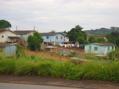
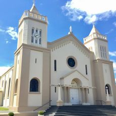
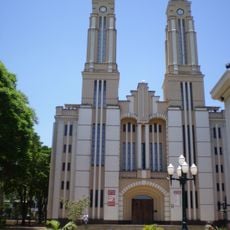
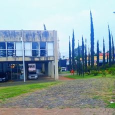
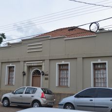
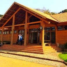
Pitanga is a municipality in Paraná in southern Brazil, composed of residential neighborhoods, commercial zones, and agricultural lands. The town connects these different areas through local road networks, functioning as an administrative center for the region.
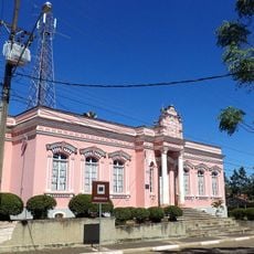
The settlement began as a small rural community and gradually developed into an established municipality. This growth mirrors the territorial expansion and administrative organization of Paraná state over recent decades.
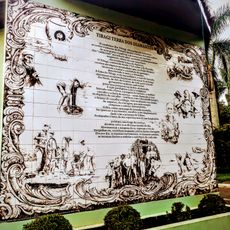
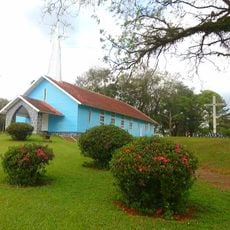
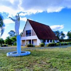
The town grew from rural roots and agriculture remains central to local identity and community gatherings. You can observe this heritage in how residents use public spaces and organize seasonal celebrations.
The town sits around 134 kilometers from Ponta Grossa and 138 kilometers from Cascavel, accessible by regional roads. Visitors should plan for longer travel times when reaching larger neighboring cities.
A community health study in Campo Verde documented health challenges that prompted improvements in public health services across the region. This early attention helped build stronger medical infrastructure and preventive care systems.
Location: Paraná
Elevation above the sea: 943 m
Shares border with: Manoel Ribas, Mato Rico, Santa Maria do Oeste, Palmital, Boa Ventura de São Roque, Cândido de Abreu, Nova Tebas, Roncador
Website: https://pitanga.pr.gov.br
GPS coordinates: -24.75694,-51.76083
Latest update: December 7, 2025 10:08
Cathedral of Maringá
149.2 km
Telêmaco Borba Cable Car
126.2 km
Perobas Biological Reserve
142 km
Our Lady of Bethlehem Cathedral, Guarapuava
76.9 km
Parque Ecológico Samuel Klabin
129.8 km
Museu Municipal Visconde de Guarapuava
76.8 km
Museu Casa do Colono de Tibagi
138.1 km
Casa do Visconde de Guarapuava
76.8 km
Museu Histórico Desembargador Edmundo Mercer Júnior
138.5 km
Teatro Municipal de Telêmaco Borba
124.2 km
Igreja Matriz da Paróquia Nossa Senhora dos Remédios de Tibagi
139.3 km
Parque Ecológico Dona Carmelita
138.2 km
Imóvel do antigo Grupo Escolar Telêmaco Borba e Reservatório de Água
139.4 km
Memorial do Garimpo
139.2 km
Cathedral of St. Joseph, Campo Mourão
101 km
Cemetery of Harmonia
129.2 km
Salto Sete
93 km
Obras de Poty Lazarotto - Painéis e Murais - Tibagi
119.4 km
Teatro Municipal Tia Inália
139.4 km
Capela de Nossa Senhora do Perpétuo Socorro de Harmonia (Telêmaco Borba)
128 km
Cemetery São Marcos (Telêmaco Borba)
125.5 km
Biblioteca Pública Municipal de Telêmaco Borba
124.2 km
Casa de Guataçara Borba Carneiro
139.3 km
Centro de Interpretação da Natureza Frans Krajcberg
129.9 km
Capela Santa Pastorina
114.4 km
Estádio Municipal Péricles Pacheco da Silva
124.4 km
Casa da Cidade Tibagi
139.4 km
Museu da Fauna e da Flora
129.8 kmVisited this place? Tap the stars to rate it and share your experience / photos with the community! Try now! You can cancel it anytime.
Discover hidden gems everywhere you go!
From secret cafés to breathtaking viewpoints, skip the crowded tourist spots and find places that match your style. Our app makes it easy with voice search, smart filtering, route optimization, and insider tips from travelers worldwide. Download now for the complete mobile experience.
A unique approach to discovering new places❞
— Le Figaro
All the places worth exploring❞
— France Info
A tailor-made excursion in just a few clicks❞
— 20 Minutes