Campo Mourão, Agricultural municipality in Paraná, Brazil
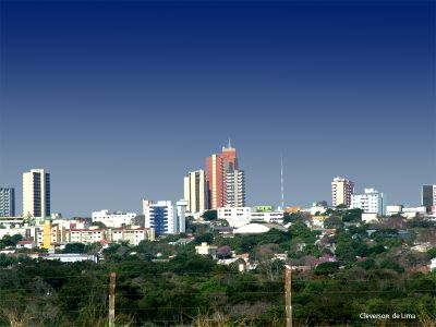
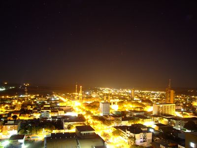
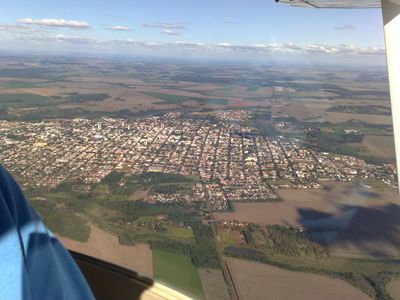
Campo Mourão is a municipality in Paraná, southern Brazil, where agriculture shapes the local economy and daily routines. The town sits on a plateau and spreads through an area characterized by fertile soils and flat terrain.
Jesuit missionaries from Spain traveled through this area during the 16th century. Expeditions from São Paulo followed in the 17th century, when the territory belonged to a larger province.
The annual Carneiro no Buraco festival draws 150,000 visitors to experience a traditional lamb dish created by local pioneers in the 1960s.
The area is connected by roads to other towns, which makes overland travel possible. Schools and municipal services are located in the center and in residential districts around downtown.
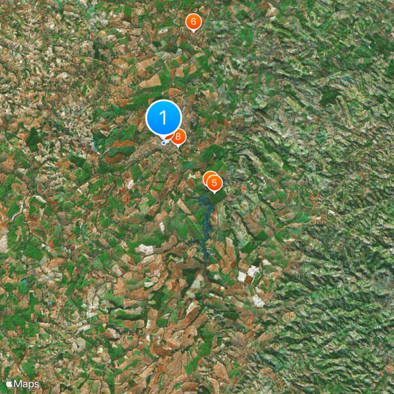
A large agricultural cooperative is based here and coordinates grain trade across the region. The facility was founded by farmers to manage sales and logistics together.
The community of curious travelers
AroundUs brings together thousands of curated places, local tips, and hidden gems, enriched daily by 60,000 contributors worldwide.