Enable Location

We need your location to show you interesting places around you

Discover nearby places

Find interesting locations and hidden gems around you

Precise directions

Get accurate directions and distances to places

Your location is never shared with other users. It's only used when you tap the location button.

Jataí

Log in to your account

Start exploring — it's free

Trusted by 62,859 travelers worldwide

Continue with Google
Continue with Apple
or

We will send you a code to connect

By continuing, you accept our Terms and Conditions and our Privacy Policy

Check your inbox

We've sent a pincode in your inbox. Please enter the code below.

Jataí, Agricultural municipality in southern Goiás, Brazil.

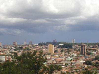
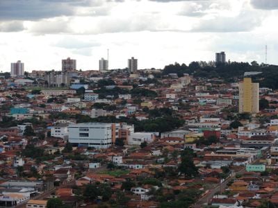
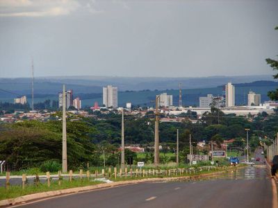
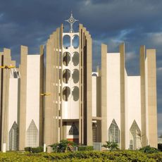
Jataí is a municipality in southern Goiás where the São Pedro and Claro rivers meet and more than one hundred thousand people live. The town spreads across wide agricultural land and houses several hospitals and higher education institutions.

José Manoel Vilela founded a cattle ranch here in 1836 along the Rio Claro and first called the place Paraíso. Nearly fifty years later the settlement received the name Jataí and grew into an important agricultural zone.

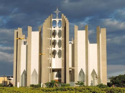
The Memorial JK inside the park displays documents and objects from the first campaign speech ever given by a future Brazilian president on home soil. Visitors find here evidence of the connection between the town and Juscelino Kubitschek, which remains alive in local memory today.

Several major roads run through the municipality and connect it with other cities across Goiás and beyond. Visitors find accommodation and facilities in the central urban area, while the surrounding countryside is shaped by agriculture.

The region produces more corn than any other municipality in Brazil and uses the fertile soils intensively. Alongside, warm springs with temperatures around forty degrees Celsius draw guests from across the country.

The community of curious travelers

AroundUs brings together thousands of curated places, local tips, and hidden gems, enriched daily by 60,000 contributors worldwide.

Start exploring
Location
Elevation above the sea
708 m
Shares border with
Caiapônia, Serranópolis, Mineiros, Perolândia, Aparecida do Rio Doce, Caçu, Itarumã, Rio Verde
GPS coordinates
-17.88083,-51.71389
Latest update
December 14, 2025 17:34
« Jataí - Agricultural municipality in southern Goiás, Brazil » is provided by Around Us (aroundus.com). Images and texts are derived from Wikimedia project under a Creative Commons license. You are allowed to copy, distribute, and modify copies of this page, under the conditions set by the license, as long as this note is clearly visible.

Discover hidden gems everywhere you go!

From secret cafés to breathtaking viewpoints, skip the crowded tourist spots and find places that match your style. Our app makes it easy with voice search, smart filtering, route optimization, and insider tips from travelers worldwide. Download now for the complete mobile experience.

Around Us App Screenshot

A unique approach to discovering new places

Le Figaro

All the places worth exploring

France Info

A tailor-made excursion in just a few clicks

20 Minutes

Around Us
Travel Guide & Maps
Download

Send to your phone

QR Code
1

Open the camera app on your mobile.

2

Point at the QR code with your camera. A notification will appear.

3

Tap the notification to open the link.