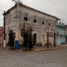
Guaratuba, Coastal municipality in Paraná, Brazil
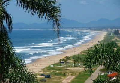
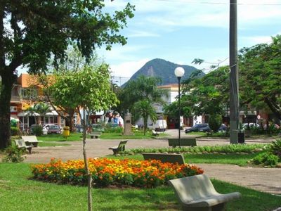
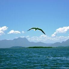
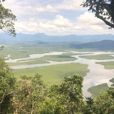
Guaratuba is a coastal municipality in Paraná with diverse landscapes stretching along the Atlantic Ocean. It combines built-up areas with natural spaces spread across a large territory.
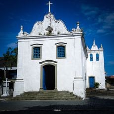
In 1765, Portuguese King Dom José I ordered the founding of Guaratuba as a settlement with 200 families to protect the region from attacks. This initiative was part of Portugal's strategy to secure its southern coast.
The name Guaratuba comes from indigenous language and refers to the red-feathered guará birds that once populated the region in large numbers. These birds shaped the local identity and gave the place its name.
Visitors reach Guaratuba via the BR-376 federal highway connecting to Curitiba or the PR-412 state road linking other coastal towns in Paraná. These routes are the main access roads to the town and surrounding areas.
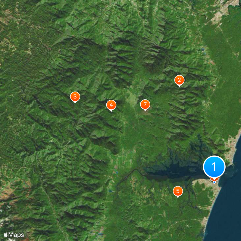
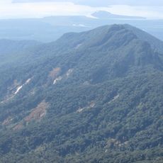
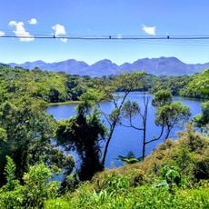
The area contains multiple environmental protection zones, including Boguaçu State Park and sections of preserved Atlantic Forest. These protected areas make Guaratuba an important location for safeguarding these rare ecosystems.
Location: Paraná
Elevation above the sea: 281 m
Shares border with: Morretes, Garuva, Itapoá, Matinhos, Paranaguá, São José dos Pinhais, Tijucas do Sul
Website: http://guaratuba.pr.gov.br/site
GPS coordinates: -25.88278,-48.57500
Latest update: December 12, 2025 02:41
Saint-Hilaire/Lange National Park
21.3 km
Guaricana National Park
33.4 km
Guaratuba Environmental Protection Area
26.1 km
Igreja Matriz de Nossa Senhora do Bom Sucesso
1 km
Boguaçu State Park
8.2 km
Lagoa do Parado Municipal Nature Park
20.8 km
Gruta de Nuestra Señora de Lourdes
0 m
Prédio na Avenida Coronel Afonso Botelho, esquina com a rua Professor Gratulino
1.1 km
Praia Grande
5.1 km
Cachoeiras dos Jesuítas
39.7 km
Monumento ao Cristo
1.5 km
Praia Central
774 m
Gruta da Santa
36.2 km
Sala de Memória de Guaratuba
679 m
Memorial Vítimas da Covid19 Guaratuba (PR)
750 m
Morro Cabaraquara
6.1 km
Ambulância
29 km
Cachoeira da Pedra Lisa
23.9 km
Ponte de Concreto - Rio Canavieiras
26.6 km
Ponte do Cubatão
22.4 km
Cristo Redentor
1.5 km
Cachoeira da Quintilha - Alto
27.5 km
Pedra
40.7 km
Salto do Sagrado
38.9 km
Cachoeira do Quintilha - Baixo
27.4 km
Praia de Caieiras
2.2 km
Prainha Guaricana
45.3 km
Prainha
3.3 kmVisited this place? Tap the stars to rate it and share your experience / photos with the community! Try now! You can cancel it anytime.
Discover hidden gems everywhere you go!
From secret cafés to breathtaking viewpoints, skip the crowded tourist spots and find places that match your style. Our app makes it easy with voice search, smart filtering, route optimization, and insider tips from travelers worldwide. Download now for the complete mobile experience.
A unique approach to discovering new places❞
— Le Figaro
All the places worth exploring❞
— France Info
A tailor-made excursion in just a few clicks❞
— 20 Minutes