Irati, Municipality in southeastern Paraná, Brazil.
Irati is a municipality in southern Paraná situated at an elevation of about 872 meters with undulating terrain. The northern areas feature gray and red soils, while the southern regions are characterized by brown soils.
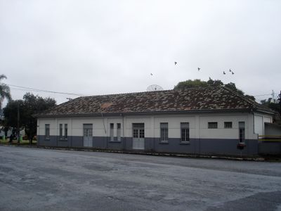
The establishment of the railway station in the 1890s marked the beginning of settlement in this area. Official status as a municipality came in 1907.
The local community maintains strong Polish and Ukrainian traditions that shape everyday celebrations, crafts, and regional food culture. Dishes like pierogi and traditional meat preparations remain central to how people gather and share meals together.
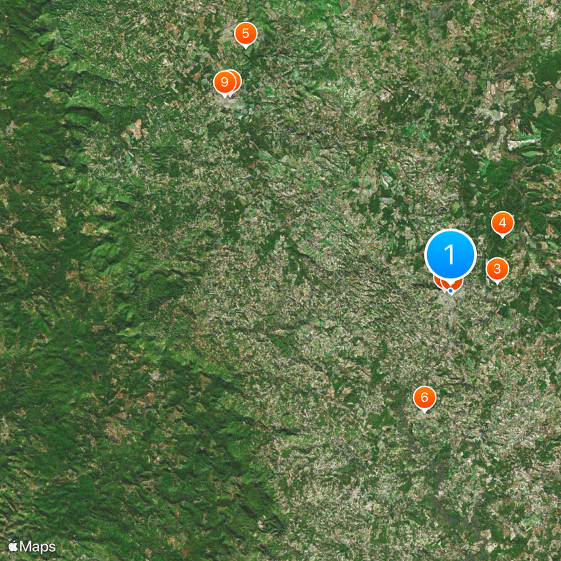
The municipality sits at the intersection of major highways BR-277 and BR-153, making it accessible via main transportation corridors. It is about 153 kilometers from Curitiba, the state capital.
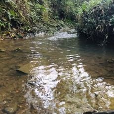
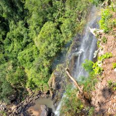
The region contains notable geological formations from the Upper Permian period known as the Irati Formation. These ancient rock layers have yielded important fossil discoveries that reveal the area's prehistoric past.
Location: Paraná
Elevation above the sea: 872 m
Shares border with: Imbituva, Prudentópolis, Inácio Martins, Fernandes Pinheiro, Guarapuava, Rebouças, Rio Azul
Website: http://irati.pr.gov.br
GPS coordinates: -25.46694,-50.65083
Latest update: December 20, 2025 02:50
Estádio Coronel Emílio Gomes
860 m
Casa-Sede da Fazenda Florestal
6.8 km
Floresta Nacional de Irati
10.9 km
Salto Sete
46.3 kmSala de Memória
17.8 kmMuseu do Milênio
42.9 kmMuseu Municipal de Irati
372 mMuseu Histórico das Irmãs Servas de Maria Imaculada
43.3 kmScenic viewpoint
44.4 kmWaterfall, tourist attraction
56.9 kmSalto Barão do Rio Branco
44.4 kmSalto Manduri
43.5 kmMirante do Salto Barão do Rio Branco
44.4 kmMirante do Salto Manduri
43.5 kmPortal
44.5 kmScenic viewpoint
44.3 kmSalto Fazenda Araúna
53.8 kmSalto Sete
46.3 kmWaterfall
39.6 kmWaterfall
24.8 kmWaterfall
31.9 kmSalto Rio Dos Patos
41.4 kmCachoeira do Monjolo
57 kmWaterfall
32.5 kmWaterfall
32.6 kmWaterfall
27.1 kmWaterfall
56 kmCachoeira do Rio Lajeadão
39.6 kmVisited this place? Tap the stars to rate it and share your experience / photos with the community! Try now! You can cancel it anytime.
Discover hidden gems everywhere you go!
From secret cafés to breathtaking viewpoints, skip the crowded tourist spots and find places that match your style. Our app makes it easy with voice search, smart filtering, route optimization, and insider tips from travelers worldwide. Download now for the complete mobile experience.
A unique approach to discovering new places❞
— Le Figaro
All the places worth exploring❞
— France Info
A tailor-made excursion in just a few clicks❞
— 20 Minutes