
Laras, district of Laranjal Paulista, Brazil
Location: Laranjal Paulista
Inception: December 2, 1919
Elevation above the sea: 480 m
Shares border with: Laranjal Paulista
GPS coordinates: -22.92554,-47.89651
Latest update: March 20, 2025 11:21
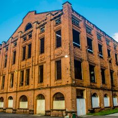
Engenho Central de Piracicaba
33.6 km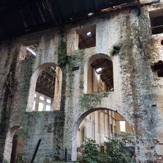
Casa do Povoador
33.7 km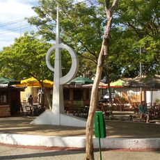
Monumento ao Cinquentenário de Laranjal Paulista
15.3 km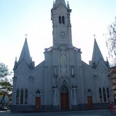
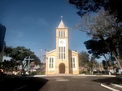
Church of Saint John the Baptist
15.1 km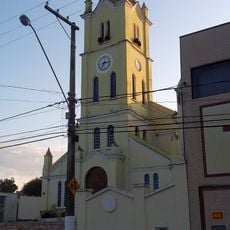
Saint Roch Parish Church
14 km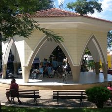
Mayor José Corrêa Bandstand
15.2 km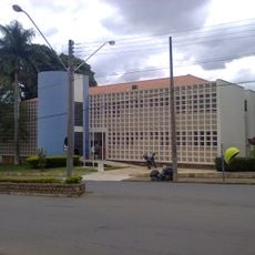
Deputy José Costa Courthouse
14.4 km
Palácio 10 de Outubro
15.3 km
E.E. Barão do Rio Branco
33.2 km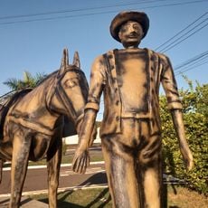
Monumento ao Tropeiro
14.2 km
E.E. Moraes Barros
32.7 km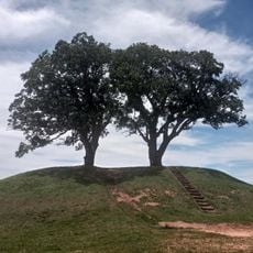
Twin Trees
15 km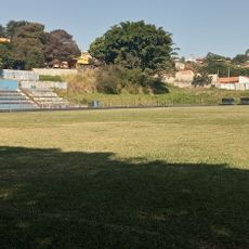
Estádio Municipal Accácio Luvizotto
15.4 km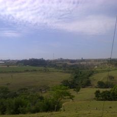
Pedreira Esmeralda
15 km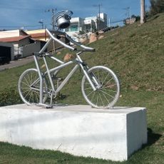
O Ciclista
15.7 km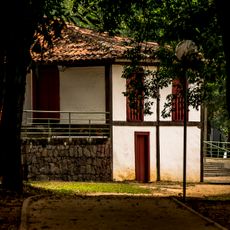
Casa do Povoador
33.6 km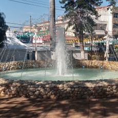
Chafariz do Largo São João
15.2 km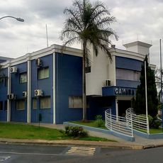
Palácio dos Tropeiros
15.7 km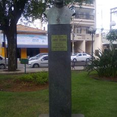
Bust of Canon André Pieroni
15.2 km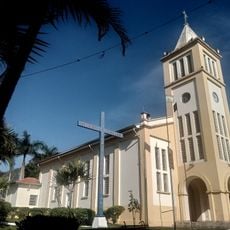
Capela de São Sebastião
17 m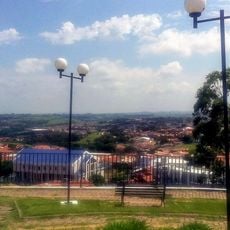
João Roberto Pilon Filho Municipal Viewpoint
15.7 km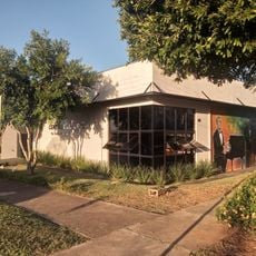
Centro Cultural Doutor Victor Rodrigues Machado
15.7 km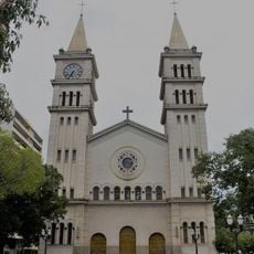
Catedral de Santo Antônio
33.7 km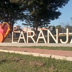
Letreiro Eu Amo Laranjal
17.3 km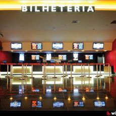
Multiplex Jardim Guadalupe
10.5 km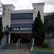
Town Council of Laranjal Paulista
15.7 km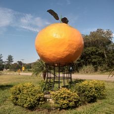
Monumento da Laranja
17.2 km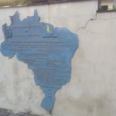
500 Anos do Descobrimento do Brasil
15.3 kmVisited this place? Tap the stars to rate it and share your experience / photos with the community! Try now! You can cancel it anytime.
Discover hidden gems everywhere you go!
From secret cafés to breathtaking viewpoints, skip the crowded tourist spots and find places that match your style. Our app makes it easy with voice search, smart filtering, route optimization, and insider tips from travelers worldwide. Download now for the complete mobile experience.

A unique approach to discovering new places❞
— Le Figaro
All the places worth exploring❞
— France Info
A tailor-made excursion in just a few clicks❞
— 20 Minutes