Cachoeirinha District, Administrative district in northern São Paulo, Brazil
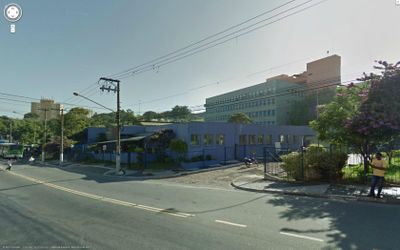
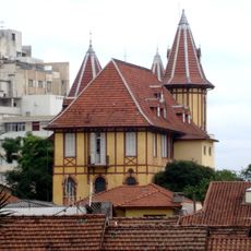
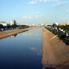
Cachoeirinha is a residential district in northern São Paulo that covers approximately 13 square kilometers with a densely populated character. It forms part of the Casa Verde administrative region and contains neighborhoods developed during the city's expansion.
The district evolved from rural land into residential neighborhoods as São Paulo expanded during the 20th century. It became established as one of the city's administrative divisions as the metropolis grew.
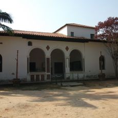
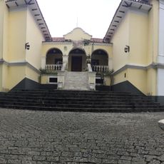
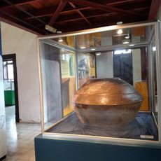
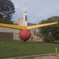
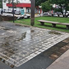
The district hosts regular community celebrations and local events at places like Praça Campo de Bagatelle, where residents gather for shared moments and neighborhood activities.
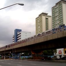
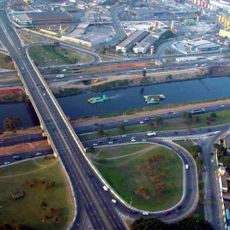
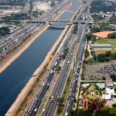
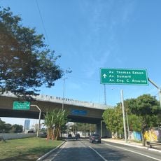
The district is well connected by bus routes that serve central São Paulo and accessible via the Ponte das Bandeiras bridge crossing. Visiting outside rush hours helps you move around more easily and see the neighborhoods at a relaxed pace.
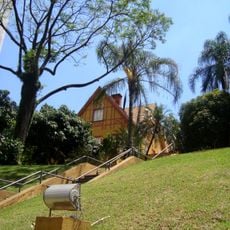
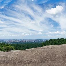
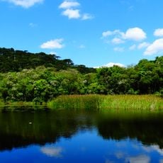
The district borders Parque Estadual da Cantareira, which contains one of the largest preserved urban rainforest areas anywhere. This proximity to unspoiled nature sets it apart among the densely built neighborhoods of the city.
Location: Subprefecture of Casa Verde
Location: São Paulo
Shares border with: Freguesia do Ó District, Limão District, Mandaqui District, Brasilândia District, Casa Verde District
Website: https://archive.is/20141230011313/http://casaverde.prefeitura.sp.gov.br
GPS coordinates: -23.44960,-46.66167
Latest update: December 7, 2025 20:20
Basilica of Our Lady of the Rosary, Caieiras
4.6 km
Albert Löfgren State Park
2.9 km
Jahu
7.4 km
Centro de Tradições Nordestinas
7 km
Museu Aberto de Arte Urbana de São Paulo
7.5 km
Baruel Mansion
6.4 km
Ponte da Freguesia do Ó
7.2 km
Sítio Morrinhos
6.4 km
Ponte da Casa Verde
7.5 km
Ponte do Limão
7.3 km
Biblioteca Narbal Fontes
6.3 km
Museu Florestal Octávio Vecchi
2.7 km
SESC Santana
7.2 km
Centro de Arqueologia de São Paulo
6.4 km
UCI Santana Parque Shopping
4 km
Vôo de Xangô
6.6 km
Ogô
6.9 km
Primeiro Alto Da Expedição Partida De S. Paulo Rumo Ao Paraguai
6.9 km
Sem título (M.Santana - Odiléa Toscano)
7 km
Sem título (M.Santana - Maurício Nogueira Lima)
7 km
Construção de São Paulo
6.6 km
Sem título (M.Santana2 - Odiléa Toscano)
7 km
Cantareira State Park - Pedra Grande Nucleus
2.7 km
Espheropeia
7.5 km
Hélice do contratorpedeiro
6.8 km
Núcleo Águas Claras
5.2 km
Capela de São Sebastião do Barro Branco
5.1 km
Ponte Júlio de Mesquita Neto
7.3 kmVisited this place? Tap the stars to rate it and share your experience / photos with the community! Try now! You can cancel it anytime.
Discover hidden gems everywhere you go!
From secret cafés to breathtaking viewpoints, skip the crowded tourist spots and find places that match your style. Our app makes it easy with voice search, smart filtering, route optimization, and insider tips from travelers worldwide. Download now for the complete mobile experience.
A unique approach to discovering new places❞
— Le Figaro
All the places worth exploring❞
— France Info
A tailor-made excursion in just a few clicks❞
— 20 Minutes