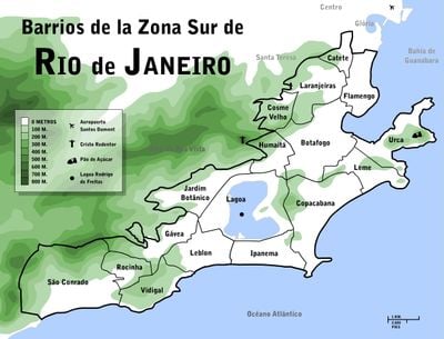
South Zone of Rio de Janeiro, Administrative region in Rio de Janeiro, Brazil
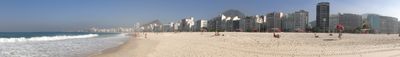
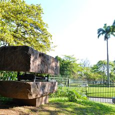
The South Zone of Rio de Janeiro lies between the Tijuca Massif, the Atlantic Ocean, and Guanabara Bay, covering neighborhoods like Copacabana, Ipanema, and Leblon. The area features mountains meeting beaches, with a network of streets, plazas, and residential buildings of varying heights.
The area began with Rio's founding in 1565 and became the city's most developed region through organized urban growth over centuries. Development accelerated in the 1900s when modern infrastructure and high-rise buildings became the defining features.
The neighborhoods here display a mix of architectural styles from colonial structures to modern buildings, showing how the city has grown across different time periods. You can see local traditions blend with contemporary life, especially around the beaches where the community gathers daily.
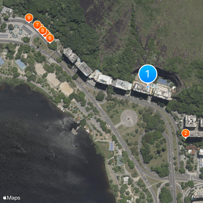
Multiple metro stations, beach access points, and major roads connect the region to downtown and other parts of the city, making it easy to move around. Plan for steep terrain in some neighborhoods and be prepared for sudden weather changes.
This region holds the city's two most iconic viewpoints: Sugarloaf Mountain and Corcovado with the Christ the Redeemer statue. Both landmarks have shaped how people see and remember Rio for more than a century.
The community of curious travelers
AroundUs brings together thousands of curated places, local tips, and hidden gems, enriched daily by 60,000 contributors worldwide.