Barra Mansa, Administrative center in Rio de Janeiro, Brazil
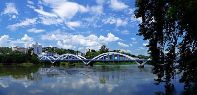
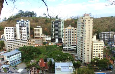
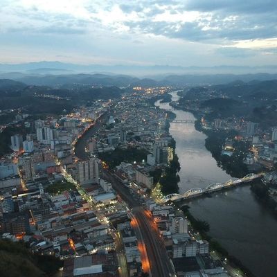
Barra Mansa is a municipality along the Paraíba do Sul River in Rio de Janeiro state, Brazil. The city spreads across a wide area that includes several neighborhoods and rural zones.
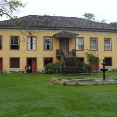
The municipality was founded in 1832 and developed into an important center for agriculture and trade. Later the place transformed into an industrial city with focus on metalworking and food production.
The name comes from Portuguese and means „wide sandbank,
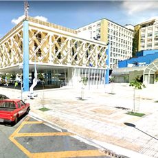
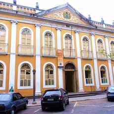
The city lies between Rio de Janeiro and São Paulo and is reachable by highways and railway lines. Visitors can explore different neighborhoods, including the historic center and the industrial districts by the riverbank.
A large chocolate factory in the city produces several well-known brands sold throughout Brazil. Many residents work at this facility, which plays a major role in the local economy.
The community of curious travelers
AroundUs brings together thousands of curated places, local tips, and hidden gems, enriched daily by 60,000 contributors worldwide.