Enable Location

We need your location to show you interesting places around you

Discover nearby places

Find interesting locations and hidden gems around you

Precise directions

Get accurate directions and distances to places

Your location is never shared with other users. It's only used when you tap the location button.

Paraíba do Sul

Log in to your account

Start exploring — it's free

Trusted by 62,839 travelers worldwide

Continue with Google
Continue with Apple
or

We will send you a code to connect

By continuing, you accept our Terms and Conditions and our Privacy Policy

Check your inbox

We've sent a pincode in your inbox. Please enter the code below.

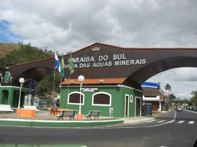
Paraíba do Sul, Municipality in Rio de Janeiro, Brazil

Paraíba do Sul is a municipality in Rio de Janeiro comprising four districts that together form the administrative area. The landscape sits at moderate elevation and is shaped by agricultural lands where sugarcane and corn are grown.

The settlement was founded in 1681 when Garcia Rodrigues Paes discovered a strategic location linking gem mines inland with Rio de Janeiro's port. This positioning made it an important connection point between interior mining and coastal trade.

Bronze statues of international figures like Yasser Arafat and Che Guevara stand in the municipality, reflecting how the community connects with global personalities. These monuments show an openness to figures and ideas from beyond Brazil's borders.

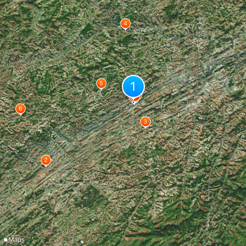
The location is easily reached via major routes like BR-101, making travel to and exploration of the region straightforward. Visitors can explore the area most freely by using local roads and visiting the different districts at their own pace.

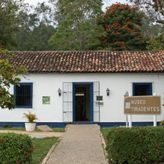
The village of Sebolas holds the sole known tomb of Tiradentes, a central figure in Brazil's independence struggle. This site draws visitors interested in understanding the country's path to freedom.

The community of curious travelers

AroundUs brings together thousands of curated places, local tips, and hidden gems, enriched daily by 60,000 contributors worldwide.

Start exploring
Location
Elevation above the sea
331 m
Shares border with
Areal, Belmiro Braga, Comendador Levy Gasparian, Paty do Alferes, Petrópolis, Rio das Flores, Três Rios, Vassouras
GPS coordinates
-22.16194,-43.29278
Latest update
December 19, 2025 22:25
« Paraíba do Sul - Municipality in Rio de Janeiro, Brazil » is provided by Around Us (aroundus.com). Images and texts are derived from Wikimedia project under a Creative Commons license. You are allowed to copy, distribute, and modify copies of this page, under the conditions set by the license, as long as this note is clearly visible.

Discover hidden gems everywhere you go!

From secret cafés to breathtaking viewpoints, skip the crowded tourist spots and find places that match your style. Our app makes it easy with voice search, smart filtering, route optimization, and insider tips from travelers worldwide. Download now for the complete mobile experience.

Around Us App Screenshot

A unique approach to discovering new places

Le Figaro

All the places worth exploring

France Info

A tailor-made excursion in just a few clicks

20 Minutes

Around Us
Travel Guide & Maps
Download

Send to your phone

QR Code
1

Open the camera app on your mobile.

2

Point at the QR code with your camera. A notification will appear.

3

Tap the notification to open the link.