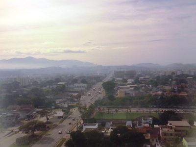
Itaboraí, Metropolitan municipality in Rio de Janeiro, Brazil
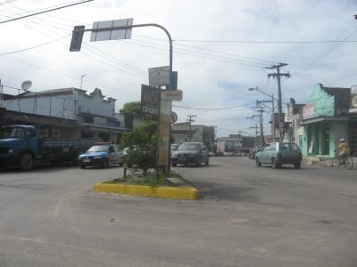
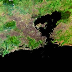
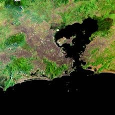
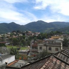
Itaboraí is a metropolitan municipality in Rio de Janeiro's region and sits at about 17 meters elevation across varying terrain. The city connects to neighboring towns São Gonçalo, Maricá, Tanguá, and Rio Bonito through multiple roads.
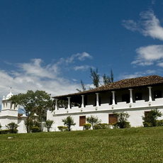
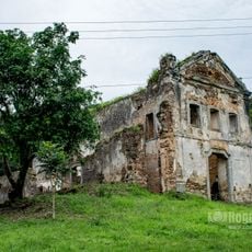
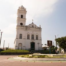
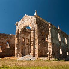
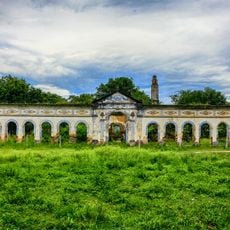
The city was founded in 1672 as an agricultural settlement during Brazil's colonial period based on farming and rural communities. From these origins it developed into a significant urban center in Rio de Janeiro state.
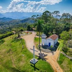
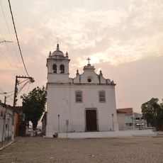
The city keeps its connection to Brazilian traditions alive through local festivals and everyday practices that shape community life. These celebrations and customs blend naturally with modern urban living for residents.
The city functions as an industrial hub with chemical plants, petroleum processing facilities, and construction companies providing local employment. Visitors should know that these industrial activities shape daily life and the city's landscape.
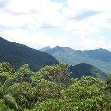
The Bacia do Rio Macacu Environmental Protection Area spans roughly 19,500 hectares within the city and protects mangroves and Atlantic Forest. This protected area, established in 2002, preserves important ecosystems and lets visitors experience the region's natural diversity.
Location: Rio de Janeiro
Inception: 1672
Elevation above the sea: 17 m
Shares border with: Guapimirim, Maricá, Tanguá, Cachoeiras de Macacu, Rio Bonito, São Gonçalo
Website: http://itaborai.rj.gov.br
GPS coordinates: -22.74750,-42.85583
Latest update: December 6, 2025 21:24
Morro do Castelo
25.5 km
Fazenda Colubandê
19.3 km
Serra da Tiririca State Park
24.6 km
Guapi-Mirim Environmental Protection Area
14.5 km
Igreja de São José da Boa Morte
18.7 km
Guanabara Ecological Station
16.7 km
Guapi-Guapiaçú Environmental Protection Area
19.8 km
Serra do Barbosão Municipal Nature Park
12.1 km
Phare de l'île de Paquetá
25.5 km
Capela de Nosso Senhor do Bonfim
21.4 km
Convento de São Boaventura
1.4 km
Igreja de Nossa Senhora da Piedade de Magepe
21.7 km
Fazenda do Engenho Novo
12.3 km
Igreja Matriz Nossa Senhora do Amparo
19.5 km
Bebedouro dos Pássaros I
25.9 km
Casa de Câmara e Cadeia
19.5 km
Igreja Matriz de São João Batista
395 m
Golfinho de Paquetá
25.8 km
Cacique Tamoio Guaixara
25.9 km
Relógio Modelo Mesbla
25.8 km
Bebedouro de Fídias
25.9 km
Carlos Gomes em Paquetá
25.9 km
Pedro Bruno
25.9 km
Marco em Homenagem à Paquetá
25.8 km
Marco do logradouro da Praia dos Tamoios
25.9 km
Marco do logradouro da Praça Pedro Bruno
25.9 km
Marco do logradouro da Rua Furquim Werneck
25.9 km
Caramanchão da Praça Pedro Bruno
25.9 kmVisited this place? Tap the stars to rate it and share your experience / photos with the community! Try now! You can cancel it anytime.
Discover hidden gems everywhere you go!
From secret cafés to breathtaking viewpoints, skip the crowded tourist spots and find places that match your style. Our app makes it easy with voice search, smart filtering, route optimization, and insider tips from travelers worldwide. Download now for the complete mobile experience.
A unique approach to discovering new places❞
— Le Figaro
All the places worth exploring❞
— France Info
A tailor-made excursion in just a few clicks❞
— 20 Minutes