Aparecida de Goiânia

Log in to your account

AroundUs is a community-driven map of interesting places, built by curious explorers like you. It grows with every review, story, and photo you share.
Connect to save your favorite spots, contribute locations, and create personalized routes.
Continue with Google
Continue with Apple
Continue with X
Continue with Facebook
Continue with email
By continuing, you accept our Terms and Conditions and our Privacy Policy
Create an account
Add to collection
Map
Suggest a change
Share

Aparecida de Goiânia, Industrial municipality in Goiás, Brazil.

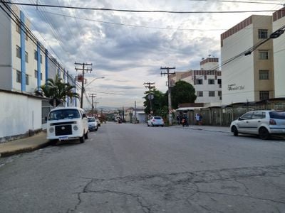
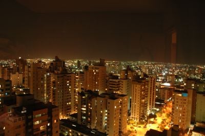
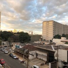
Aparecida de Goiânia is a municipality in central Goiás that sits at an elevation of around 808 meters and forms the second largest city in the state after the capital. Residential neighborhoods alternate with commercial zones, while wide streets connect the different districts.

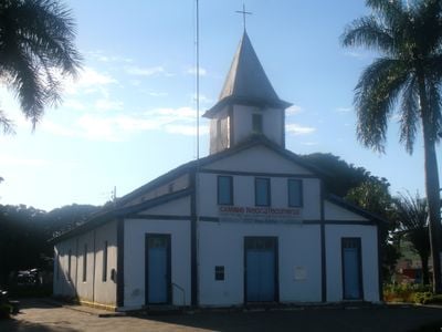
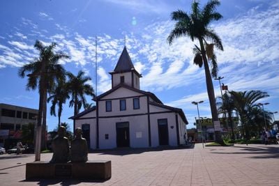
A group of worshipers donated land in 1922 to build a chapel, which laid the foundation for the later settlement. The municipality developed rapidly during the second half of the 20th century and gained independence from the neighboring city.

The place takes its name from Nossa Senhora Aparecida, Brazil's patron saint, and many families maintain this connection through pilgrimages and celebrations. On weekends, churches fill with worshipers from across the region who pray together and then gather in the squares outside.

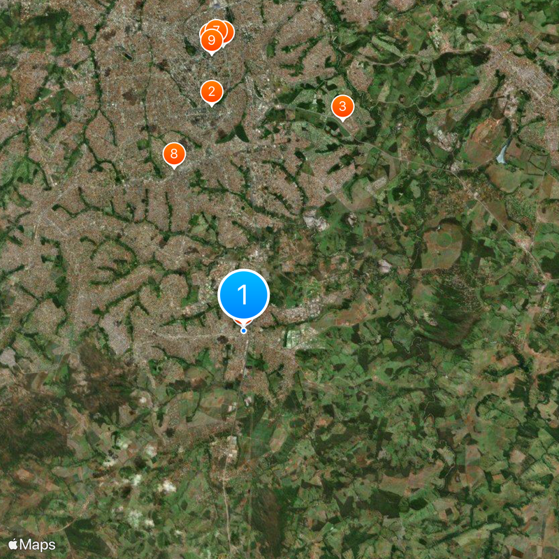
The municipality sits about 21 kilometers from Goiânia and is reached via well-maintained roads that pass through residential and industrial areas. Four industrial zones along federal highway BR-153 shape the cityscape and attract many commuters.

The population rose from around 42,000 in 1980 to over 590,000 in 2020, representing one of the fastest demographic shifts in central Brazil. This change transformed the cityscape fundamentally and led to the emergence of new neighborhoods and infrastructure.

Location: Goiás

Inception: 1922

Elevation above the sea: 808 m

Shares border with: Goiânia, Abadia de Goiás, Aragoiânia, Bela Vista de Goiás, Hidrolândia, Senador Canedo

Website: http://aparecida.go.gov.br

GPS coordinates: -16.82194,-49.24500

Latest update: December 13, 2025 17:10

Photos
Reviews

Visited this place? Tap the stars to rate it and share your experience / photos with the community! Try now! You can cancel it anytime.

« Aparecida de Goiânia - Industrial municipality in Goiás, Brazil » is provided by Around Us (aroundus.com). Images and texts are derived from Wikimedia project under a Creative Commons license. You are allowed to copy, distribute, and modify copies of this page, under the conditions set by the license, as long as this note is clearly visible.

Discover hidden gems everywhere you go!

From secret cafés to breathtaking viewpoints, skip the crowded tourist spots and find places that match your style. Our app makes it easy with voice search, smart filtering, route optimization, and insider tips from travelers worldwide. Download now for the complete mobile experience.

Around Us App Screenshot

A unique approach to discovering new places

Le Figaro

All the places worth exploring

France Info

A tailor-made excursion in just a few clicks

20 Minutes