Ilha de Tinharé, Protected island in Cairu Archipelago, Brazil.
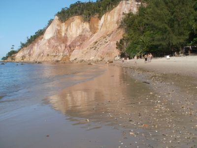
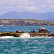
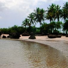
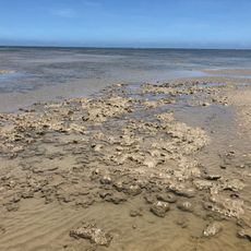
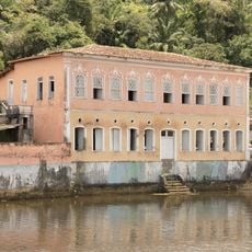
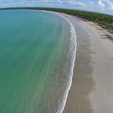
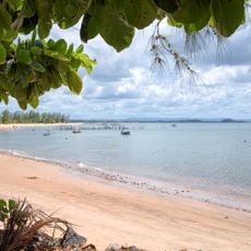
Tinharé is an island in the Cairu Archipelago off the Bahian coast, where reef-protected beaches and deep waters characterize the eastern shoreline. The landscape is covered with vegetation, while footpaths and waterways connect the scattered coastal settlements.
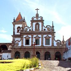
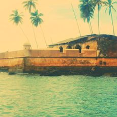
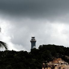
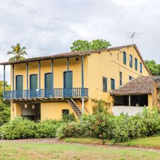
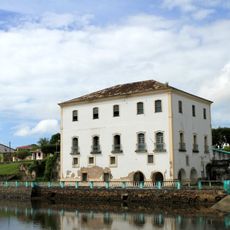
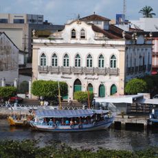
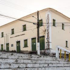
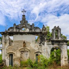
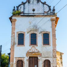
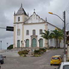
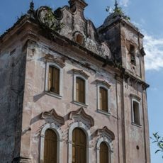
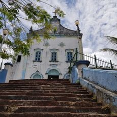
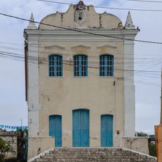
The island emerged during the colonial period as a maritime checkpoint, linking different sections of the Brazilian coast through its strategic position. This role shaped its settlement patterns and connections to other regions for centuries.
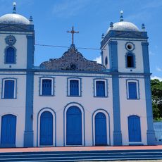
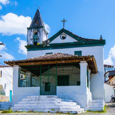
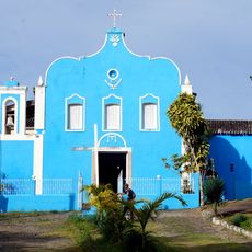
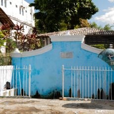
The residents blend Portuguese, Dutch, and Indigenous traditions visible in fishing methods and local celebrations held throughout the year. This heritage shapes how people work and gather, reflecting generations of settlement on the island.
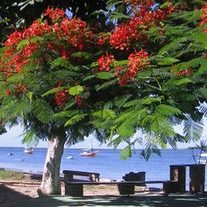
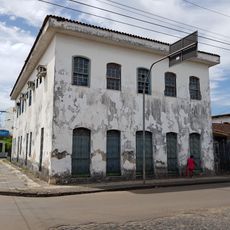
The island is reached by regular boat services from Salvador or Valença, with travel times ranging from 2 to 3 hours depending on weather. The absence of motor vehicles means getting around relies on walking or wooden boat rides, which shapes how you move through it.
The lack of motor vehicles creates a network of footpaths and waterways where wooden boats transport goods between settlements, keeping the island separate from modern traffic patterns. This isolation has helped preserve traditional crafts and fishing knowledge that has been passed down for generations.
Location: Bahia
Elevation above the sea: 6 m
Part of: Cairu Archipelago
GPS coordinates: -13.50000,-38.96667
Latest update: December 6, 2025 17:40
Brazil's coastline stretches over 4,600 miles (7,400 kilometers), connecting tropical forests, sandbars, and several climate zones. In Rio de Janeiro, Copacabana and Ipanema draw visitors with their urban energy, while Fernando de Noronha offers bays shaped by marine life and volcanic rock. Further...
Church and Convent of Saint Antony
8.6 km
Cacha pregos
45.7 km
Fortified System of São Paulo Hill
15 km
Igreja de Nossa Senhora do Amparo
19.1 km
Arará
24.7 km
Fonte Grande of Morro de São Paulo
14.4 km
Morro de São Paulo Lighthouse
14.9 km
Segunda Praia
12.5 km
Caminhos Ecológicos da Boa Esperança Environmental Protection Area
18.6 km
Engenho de Baixo
50.4 km
Parish Church of Our Lady of Help
43.6 km
Town Hall and Prison of Jaguaripe
43.8 km
Casa onde nasceu o Conselheiro Zacarias Góes de Vasconcelos
18.3 km
Casa da Câmara dos Vereadores
18.3 km
Chapel of Our Lady of the Conception
52 km
Casa do Ouvidor (Jaguaripe)
43.8 km
Sobrado da Praça Arthur Sampaio
52 km
Capela de Santo António dos Índios
47.6 km
Igreja de Nossa Senhora do Rosário (Jaguaripe)
43.7 km
Igreja Matriz de Nossa Senhora do Rosário
8.5 km
Igreja Matriz do Divino Espírito Santo de Boipeba
10.1 km
Igreja Matriz de Nossa Senhora Santana
47 km
Teatro Municipal de Valença
18.1 km
Parish Church of the Divine Holy Spirit
18.6 km
Igreja Matriz de Nossa Senhora da Conceição
49.7 km
Praia de Garapuá
5.7 km
Fonte da Pedreira do Império
52 km
Praia de Barra Grande
43.2 kmVisited this place? Tap the stars to rate it and share your experience / photos with the community! Try now! You can cancel it anytime.
Discover hidden gems everywhere you go!
From secret cafés to breathtaking viewpoints, skip the crowded tourist spots and find places that match your style. Our app makes it easy with voice search, smart filtering, route optimization, and insider tips from travelers worldwide. Download now for the complete mobile experience.
A unique approach to discovering new places❞
— Le Figaro
All the places worth exploring❞
— France Info
A tailor-made excursion in just a few clicks❞
— 20 Minutes