Floriano

Log in to your account

AroundUs is a community-driven map of interesting places, built by curious explorers like you. It grows with every review, story, and photo you share.
Connect to save your favorite spots, contribute locations, and create personalized routes.
Continue with Google
Continue with Apple
Continue with X
Continue with Facebook
Continue with email
By continuing, you accept our Terms and Conditions and our Privacy Policy
Create an account
Add to collection
Map
Suggest a change
Share

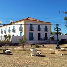
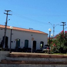
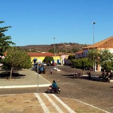
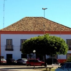
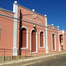
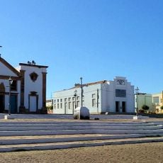
Floriano, Administrative municipality in Piauí, Brazil

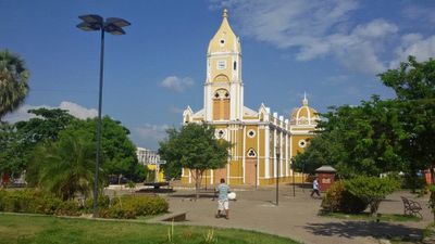
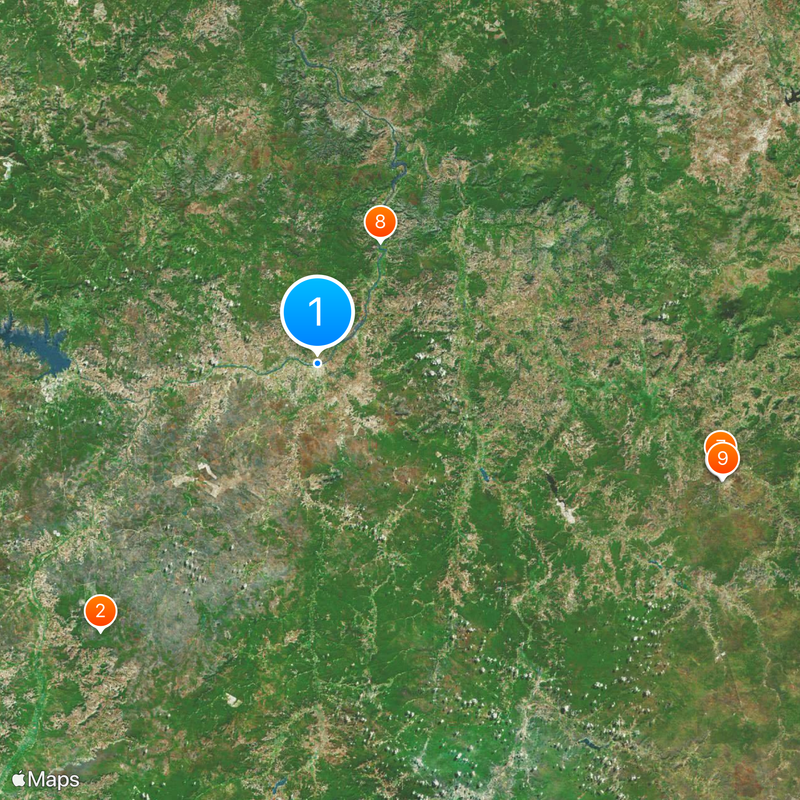
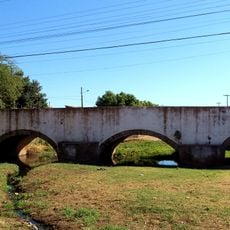
Floriano is a municipality in Piauí state situated on the right bank of the Parnaíba River. It covers an area of 3,409 square kilometers and sits at an elevation of 179 meters, across from the city of Barão de Grajaú in neighboring Maranhão state.

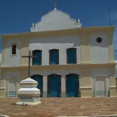
The area originated from four colonial land grants given to Domingos Afonso Mafrense in 1676 to develop agriculture and ranching. This early settlement laid the foundation for the region's economic development over the centuries.

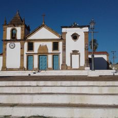
The local folklore weaves together Portuguese, Indigenous, African, and Arab traditions through celebrations and performances that visitors can witness. These cultural expressions appear throughout the year in community gatherings and festivals that mark the region's diverse heritage.

The best time to visit is during the dry season from May to September when weather is most stable. The Parnaíba River is the central geographical feature that shapes movement and activities throughout the area.

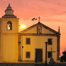
In 1873, the Rural Establishment São Pedro de Alcântara opened as the first agricultural school in the Americas with a distinctive mission. The school taught children of enslaved people modern farming techniques, offering them an unusual educational opportunity for that era.

Location: Piauí

Inception: 1897

Elevation above the sea: 179 m

Shares border with: Francisco Ayres, Amarante, Barão de Grajaú, Itaueira, Jerumenha, Nazaré do Piauí, São José do Peixe

Website: http://floriano.pi.gov.br

GPS coordinates: -6.76694,-43.02278

Latest update: December 19, 2025 22:31

Photos
Reviews

Visited this place? Tap the stars to rate it and share your experience / photos with the community! Try now! You can cancel it anytime.

« Floriano - Administrative municipality in Piauí, Brazil » is provided by Around Us (aroundus.com). Images and texts are derived from Wikimedia project under a Creative Commons license. You are allowed to copy, distribute, and modify copies of this page, under the conditions set by the license, as long as this note is clearly visible.

Discover hidden gems everywhere you go!

From secret cafés to breathtaking viewpoints, skip the crowded tourist spots and find places that match your style. Our app makes it easy with voice search, smart filtering, route optimization, and insider tips from travelers worldwide. Download now for the complete mobile experience.

Around Us App Screenshot

A unique approach to discovering new places

Le Figaro

All the places worth exploring

France Info

A tailor-made excursion in just a few clicks

20 Minutes