Gravatá

Log in to your account

AroundUs is a community-driven map of interesting places, built by curious explorers like you. It grows with every review, story, and photo you share.
Connect to save your favorite spots, contribute locations, and create personalized routes.
Continue with Google
Continue with Apple
Continue with X
Continue with Facebook
Continue with email
By continuing, you accept our Terms and Conditions and our Privacy Policy
Create an account
Add to collection
Map
Suggest a change
Share

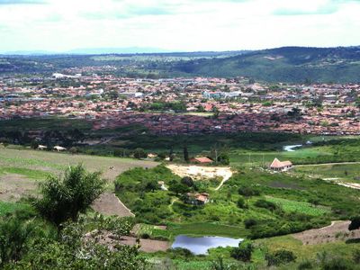
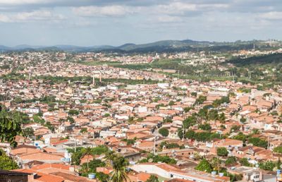
Gravatá, Administrative region in Pernambuco, Brazil

Gravatá is a municipality in Pernambuco's highlands, situated roughly 75 kilometers from Recife at about 800 meters elevation. The landscape features rural homes with Alpine-style architecture and extensive flower-growing areas that cover much of the surrounding land.

The settlement started as a farm providing shelter to travelers before becoming an official municipality in 1881. This transition marked its shift from a simple stopping point into an established administrative center for the region.

The town hosts seasonal festivals where locals and visitors celebrate with music, food, and flower displays that reflect the region's agricultural roots. These gatherings show how flowers and rural traditions remain central to daily community life here.

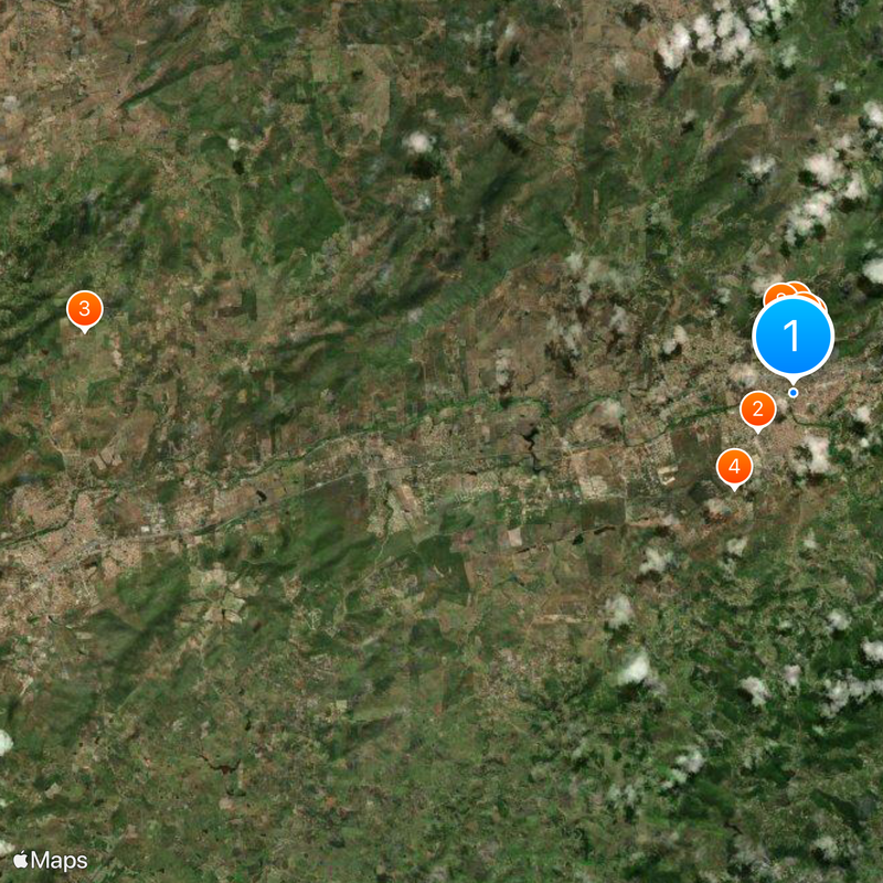
The area is accessible via the BR-232 highway and offers a range of lodging from hotels to country houses scattered throughout the region. Visitors should bring comfortable footwear for uneven terrain and pack layers for the cooler mountain weather.

The region is Brazil's Northeast leading producer of temperate-climate flowers, supplying markets across multiple states. Many visitors overlook how the flower fields here are carefully cultivated year-round rather than occurring naturally.

Location: Pernambuco

Inception: June 13, 1884

Elevation above the sea: 617 m

Shares border with: Passira, Amaraji, Barra de Guabiraba, Bezerros, Chã Grande, Cortês, Pombos, Sairé

Website: http://prefeituradegravata.pe.gov.br

GPS coordinates: -8.20083,-35.56500

Latest update: December 17, 2025 07:40

Photos
Reviews

Visited this place? Tap the stars to rate it and share your experience / photos with the community! Try now! You can cancel it anytime.

« Gravatá - Administrative region in Pernambuco, Brazil » is provided by Around Us (aroundus.com). Images and texts are derived from Wikimedia project under a Creative Commons license. You are allowed to copy, distribute, and modify copies of this page, under the conditions set by the license, as long as this note is clearly visible.

Discover hidden gems everywhere you go!

From secret cafés to breathtaking viewpoints, skip the crowded tourist spots and find places that match your style. Our app makes it easy with voice search, smart filtering, route optimization, and insider tips from travelers worldwide. Download now for the complete mobile experience.

Around Us App Screenshot

A unique approach to discovering new places

Le Figaro

All the places worth exploring

France Info

A tailor-made excursion in just a few clicks

20 Minutes