Enable Location

We need your location to show you interesting places around you

Discover nearby places

Find interesting locations and hidden gems around you

Precise directions

Get accurate directions and distances to places

Your location is never shared with other users. It's only used when you tap the location button.

Tauá

Log in to your account

Start exploring — it's free

Trusted by 62,033 travelers worldwide

Continue with Google
Continue with Apple
or

We will send you a code to connect

By continuing, you accept our Terms and Conditions and our Privacy Policy

Check your inbox

We've sent a pincode in your inbox. Please enter the code below.

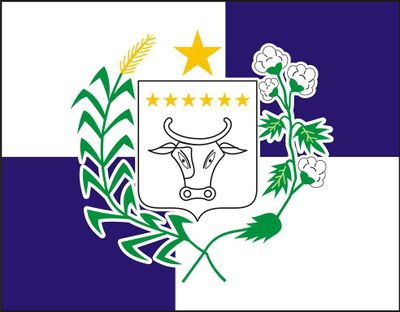
Tauá, Municipality in Ceará, Brazil

Tauá is a municipality located in Ceará state in northeastern Brazil. It spans across several districts including Marrecas, Barra Nova, Trici, Marruás, Carrapateiras, Inhamuns, and Santa Tereza that together form its local administrative territory.

The settlement received its official town status on May 3, 1802, after being visited by Ouvidor Gregório José da Silva who elevated it to this position. This event marked the beginning of its development as an organized administrative unit in the region.

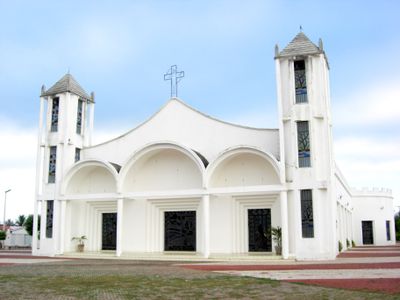
The municipality honors Our Lady of the Rosary as its patron saint with annual celebrations on October 7, marking an important religious tradition.

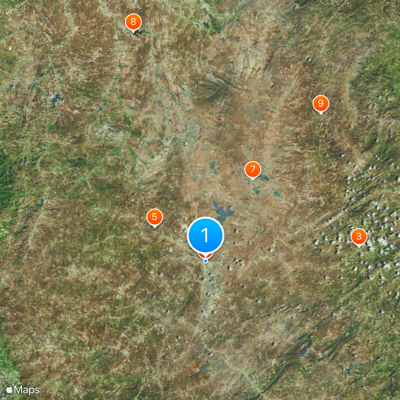
The town sits roughly 337 kilometers southwest of Fortaleza and can be reached via the BR-020 highway. When visiting, the local community radio stations serve as helpful resources for information about the area and regional events.

A notable achievement is the solar energy project that brought the region into focus on the national energy map. This investment in renewable resources reflects the area's commitment to sustainable development and modern infrastructure.

The community of curious travelers

AroundUs brings together thousands of curated places, local tips, and hidden gems, enriched daily by 60,000 contributors worldwide.

Start exploring
Location
Inception
1802
Elevation above the sea
402 m
Shares border with
Arneiroz, Independência, Mombaça, Parambu, Pedra Branca, Quiterianópolis
GPS coordinates
-6.00278,-40.29278
Latest update
December 20, 2025 13:13
« Tauá - Municipality in Ceará, Brazil » is provided by Around Us (aroundus.com). Images and texts are derived from Wikimedia project under a Creative Commons license. You are allowed to copy, distribute, and modify copies of this page, under the conditions set by the license, as long as this note is clearly visible.

Discover hidden gems everywhere you go!

From secret cafés to breathtaking viewpoints, skip the crowded tourist spots and find places that match your style. Our app makes it easy with voice search, smart filtering, route optimization, and insider tips from travelers worldwide. Download now for the complete mobile experience.

Around Us App Screenshot

A unique approach to discovering new places

Le Figaro

All the places worth exploring

France Info

A tailor-made excursion in just a few clicks

20 Minutes

Around Us
Travel Guide & Maps
Download

Send to your phone

QR Code
1

Open the camera app on your mobile.

2

Point at the QR code with your camera. A notification will appear.

3

Tap the notification to open the link.