
Platbank, cliff in Western Cape, South Africa; geonames ID = 3362846
Location: Western Cape
Elevation above the sea: 25 m
GPS coordinates: -34.16972,18.84722
Latest update: April 7, 2025 21:29
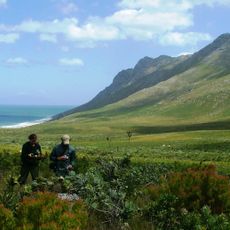
Kogelberg Nature Reserve
3.6 km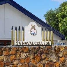
South African Naval College
1.5 km
Helderberg Nature Reserve
15.4 km
Macassar Dunes Conservation Area
14 km
Monkey Town
6.5 km
Harmony Flats Nature Reserve
3.7 km
Dick Dent Bird Sanctuary
8.2 km
Waterworld Strand
7.9 km
Lwandle Migrant Labour Museum
5.9 km
Percy's Hole
13.5 km
Blue Rock Quarry
6.9 km
Steenbras Deep Ridge
9.1 km
Vogelsteen
767 m
Pinnacle
1.4 km
Cow and Calf
906 m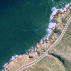
Tony’s Reef
1.9 km
Kruis
13.7 km
Lorry Bay
2.7 km
Ledges
166 m
Rocky Bay
3.7 km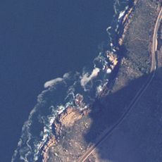
Whirlpool cove
12.7 km
Troglodyte’s Cove
2.4 km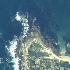
Rooi-els Point
14.5 km
Coral Gardens (Rooi-els)
15.1 km
Blousteen Ridge
11.8 km
Blouklip
11.7 km
Ankers
15.8 km
Drop Zone
8.3 kmReviews
Visited this place? Tap the stars to rate it and share your experience / photos with the community! Try now! You can cancel it anytime.
Discover hidden gems everywhere you go!
From secret cafés to breathtaking viewpoints, skip the crowded tourist spots and find places that match your style. Our app makes it easy with voice search, smart filtering, route optimization, and insider tips from travelers worldwide. Download now for the complete mobile experience.

A unique approach to discovering new places❞
— Le Figaro
All the places worth exploring❞
— France Info
A tailor-made excursion in just a few clicks❞
— 20 Minutes