Macassar Dunes Conservation Area, Protected coastal area in Western Cape, South Africa
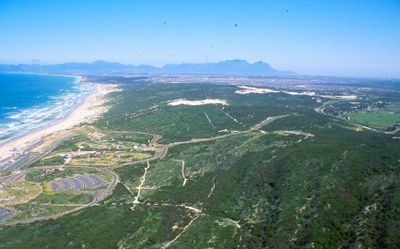
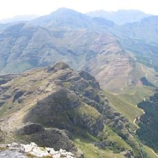
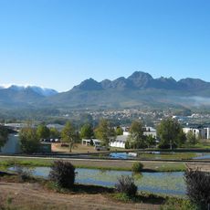
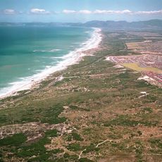
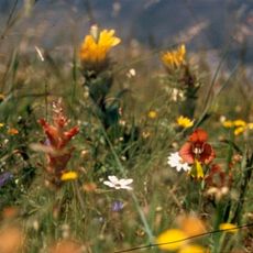
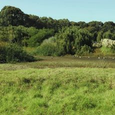
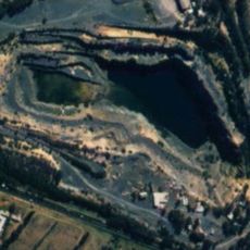
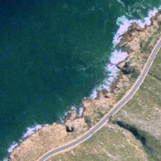
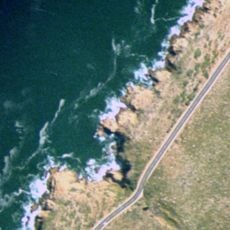
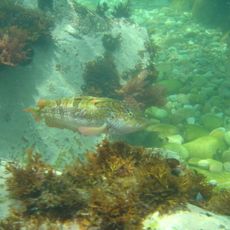
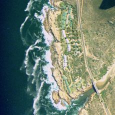
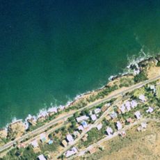
Macassar Dunes is a protected coastal area along False Bay covering about 1,116 hectares and featuring dense evergreen thickets, colorful wildflowers, and the tallest dune system on Cape Peninsula. The site is accessible through Macassar Road and Baden Powell Drive, offering terrain suitable for hiking, whale watching, and fishing activities.
The area was founded during the 1600s when Sheikh Yusuf established the first Muslim community in South Africa here and named it after his Indonesian homeland. This settlement marked a turning point in the history of Islamic presence on the African continent.
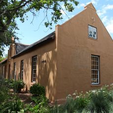
The shrine of Sheikh Yusuf on a hilltop at the eastern edge draws many Muslim pilgrims, especially during Easter when families gather for extended camping. The site holds deep spiritual meaning for the local community and attracts visitors from across the region.
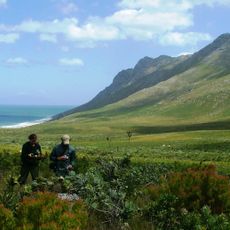
The area is best explored on foot with varying conditions depending on the season - summer months are hotter and drier while winter brings cooler weather. Wear sturdy footwear and be prepared for sandy and dune terrain that can become challenging after rain.
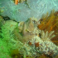
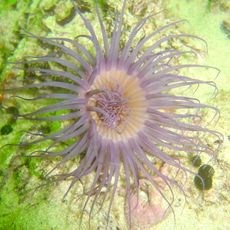
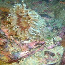
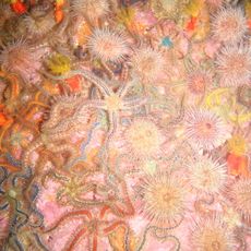
The reserve shelters one of the last remaining groves of the endangered White Milkwood tree on the Cape Flats, a species that has largely disappeared elsewhere in this region. This rare woodland provides habitat for small antelope, tortoises, and porcupines.
The community of curious travelers
AroundUs brings together thousands of curated places, local tips, and hidden gems, enriched daily by 60,000 contributors worldwide.