Sibiti, town
Location: Lékoumou Department
Elevation above the sea: 531 m
GPS coordinates: -3.68500,13.35111
Latest update: April 4, 2025 17:00
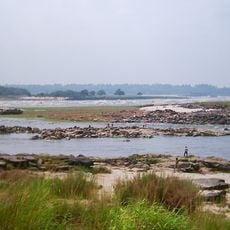
Livingstone Falls
218 km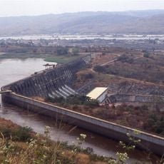
Inga Dams
206.1 km
Inga Falls
204.3 km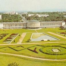
Palace of the Nation
225 km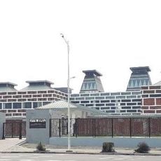
National Museum of the Democratic Republic of Congo
228.1 km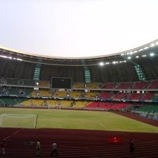
Stade Municipal de Kintélé
225.3 km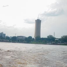
Nabemba Tower
224.9 km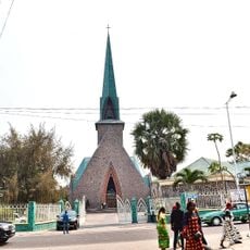
Basilique Sainte-Anne-du-Congo de Brazzaville
224.3 km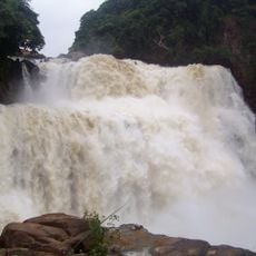
Zongo Falls
211.2 km
Tchimpounga Sanctuary
191.1 km
Conkouati-Douli National Park
210.4 km
Batéké Plateau National Park
182.5 km
Case de Gaulle
223.1 km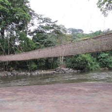
Pont de lianes de Poubara
215.1 km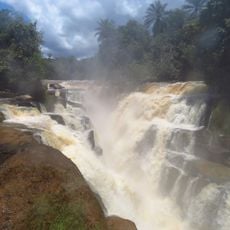
Loufoulakari waterfalls
209.2 km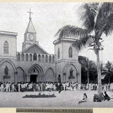
Sacred Heart Cathedral, Brazzaville
223.2 kmMaiombe-Nationalpark
124.9 km
Kinsuka Bridge
219.4 km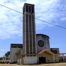
St. Peter the Apostle Cathedral, Pointe-Noire
205.9 km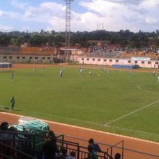
Stade Paul Sayal Moukila
94.1 km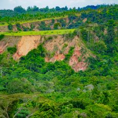
Gorges de Diosso
197.8 km
Église Notre-Dame de l'Assomption de Pointe-Noire
208 km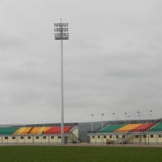
Stade Omnisports de Kinkala
173.5 km
Museum of Republic of Congo
196.6 km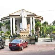
Statue de Pierre Savorgnan de Brazza
224.1 km
Église Saint-Pierre-Claver
221.5 km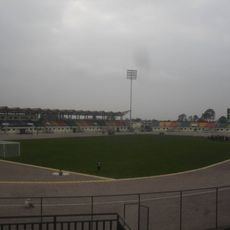
Stade de Djambala
202.6 km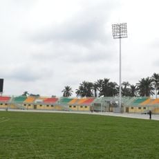
Stade de Sibiti
2.8 kmVisited this place? Tap the stars to rate it and share your experience / photos with the community! Try now! You can cancel it anytime.
Discover hidden gems everywhere you go!
From secret cafés to breathtaking viewpoints, skip the crowded tourist spots and find places that match your style. Our app makes it easy with voice search, smart filtering, route optimization, and insider tips from travelers worldwide. Download now for the complete mobile experience.

A unique approach to discovering new places❞
— Le Figaro
All the places worth exploring❞
— France Info
A tailor-made excursion in just a few clicks❞
— 20 Minutes