Lomami National Park, National park in Tshopo and Maniema, Democratic Republic of the Congo
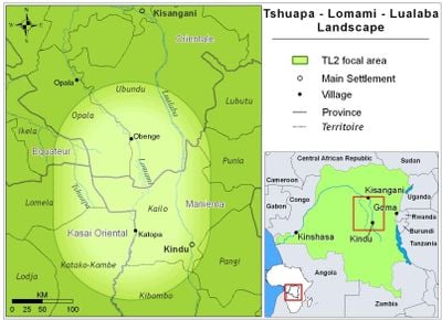
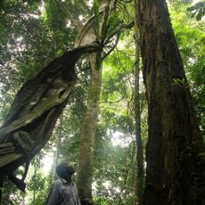
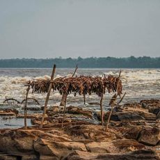
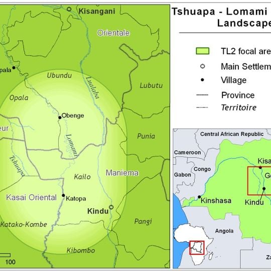
Lomami National Park covers 8,879 km² of lowland tropical rainforest in Tshopo and Maniema provinces, between Kisangani and Kindu. The Lomami River forms the western border at the southern limit and flows through the centre of the northern part. Edaphic savannas emerge from the forest in the south, while the north varies from hill forest to seasonally flooded and riverine forest.
In April 2007 John and Terese Hart of the Lukuru Foundation launched a dugout survey up the Lomami River, naming the Tshuapa–Lomami–Lualaba landscape TL2. From 2010 to 2012, Tambiko ceremonies consulting ancestors preceded villages setting the park's limits; in 2013 Maniema and Tshopo governors declared provincial parks. The national government decreed Lomami National Park on 7 July 2016, the country's ninth and first since 1992.
Seven ethnic groups live in the park's buffer zone: Lengola, Mbole, Mituku, Langa, Tetela, Ngengele and Arabisé. Their roughly 100 small villages rely on agriculture, hunting and fishing. Before the park's boundaries were fixed between 2010 and 2012, Tambiko ceremonies were held to consult the ancestors.
A visit to the park requires careful planning, as tourist infrastructure is very limited and many routes into the area are difficult to travel. Kindu, the provincial capital of Maniema, is the most common starting point for anyone heading into the park.
The Lomami River runs through the park and has acted as a natural barrier for so long that bonobo populations on either side have developed into genetically distinct groups. This makes the park one of the few places where the effect of a river on primate evolution can be observed directly in the field.
The community of curious travelers
AroundUs brings together thousands of curated places, local tips, and hidden gems, enriched daily by 93,072 contributors worldwide.