
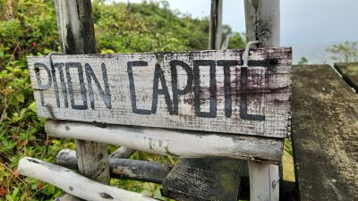
Piton Capote, Berggipfel in Mauritius
Location: Savanne District
Address: Piton Capote, Mauritius
GPS coordinates: -20.45250,57.49000
Latest update: May 11, 2025 20:48
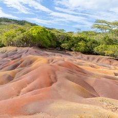
Seven Coloured Earths
12.2 km
Black River Gorges National Park
8.6 km
La Vallee des Couleurs Nature Park
763 m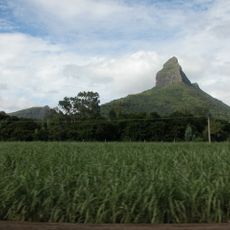
Black River Peak
9.9 km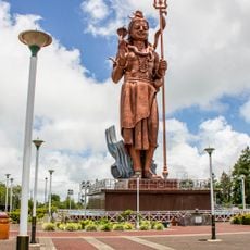
Mangal Mahadev
4 km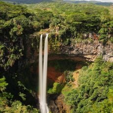
Chamarel Falls
10.9 km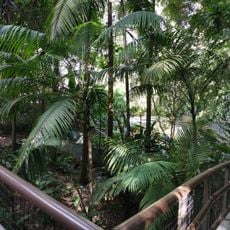
La Vanille Nature Park
9.3 km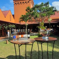
Rhumerie de Chamarel
10.1 km
Curious corner
11.3 km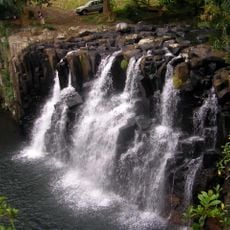
Rochester Falls
6.2 km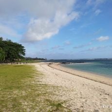
St Felix Public Beach
6.9 km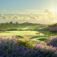
Avalon Golf Estate
3.1 km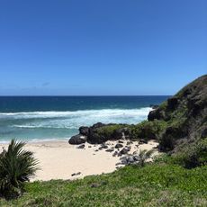
Gris Gris Public Beach
9.2 km
Lavillion Natural Forest
12.2 km
Telfair Public Beach
8.4 km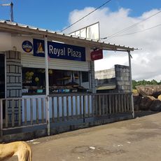
Royal plaza
12 km
World Of Seashells
10 km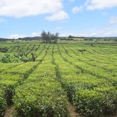
Bois Cheri Tea Plantation
4.7 km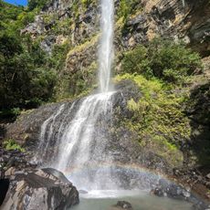
Cascade Mare aux Joncs
8.2 km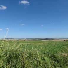
Plaine Champagne Road
11 km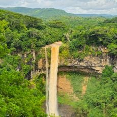
Viewpoint Chamarel Waterfall
11.1 km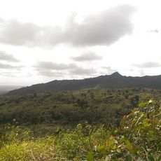
Piton Savanne
472 m
Mare Longue Reservoir
8.7 km
Kanaka Crater
6 km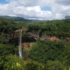
Alexandra Falls
4 km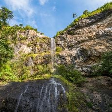
Mare aux Joncs
8.1 km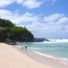
Gris Gris Beach
9.1 km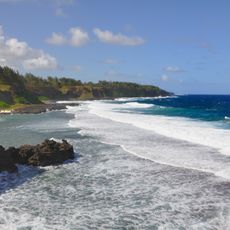
La Roche qui Pleure
9.3 kmReviews
Visited this place? Tap the stars to rate it and share your experience / photos with the community! Try now! You can cancel it anytime.
Discover hidden gems everywhere you go!
From secret cafés to breathtaking viewpoints, skip the crowded tourist spots and find places that match your style. Our app makes it easy with voice search, smart filtering, route optimization, and insider tips from travelers worldwide. Download now for the complete mobile experience.

A unique approach to discovering new places❞
— Le Figaro
All the places worth exploring❞
— France Info
A tailor-made excursion in just a few clicks❞
— 20 Minutes