Taita–Taveta County, Administrative county in southeastern Kenya.
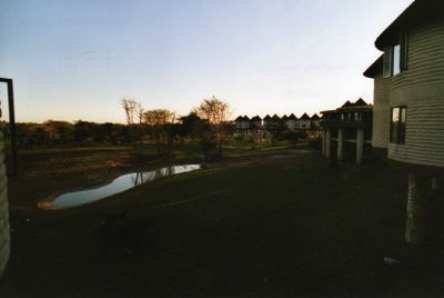
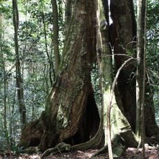
Taita-Taveta is an administrative county in southeastern Kenya covering diverse landscapes across approximately 17,000 square kilometers. The territory includes major portions of two national parks, mountain ranges, open grasslands, and agricultural areas at varying elevations.
The territory became a county in 2013 as part of Kenya's administrative restructuring, shifting from a district to a self-governing administrative unit. This change gave the region greater control over its own affairs and local development.
Multiple ethnic communities live here and maintain their own languages and traditional customs in daily life. You will notice their artistic expressions through local crafts, music, and ceremonies that remain part of the region's identity.
The county's administrative center is Mwatate, and the region is divided into four constituencies: Taveta, Wundanyi, Mwatate, and Voi. Traveling across the territory requires good planning and time since the area spans considerable distances with varying road conditions.
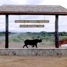
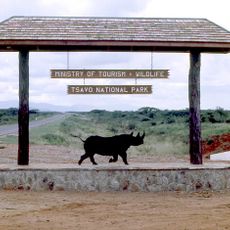
A significant portion of this county's land is occupied by two major national parks that together form one of the region's most important wildlife sanctuaries. This extensive wilderness area creates outstanding opportunities for seeing animals in their natural environment.
The community of curious travelers
AroundUs brings together thousands of curated places, local tips, and hidden gems, enriched daily by 60,000 contributors worldwide.