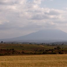
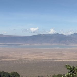
Ngorongoro Crater, Caldera in Arusha Region, Tanzania
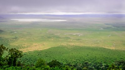
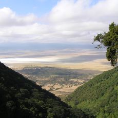
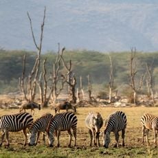
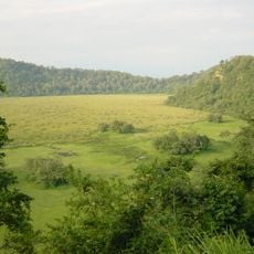
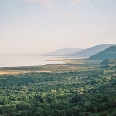
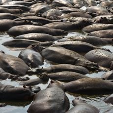
The Ngorongoro Crater is a massive sunken caldera with steep walls dropping roughly 600 meters (2,000 ft) and a vast floor spanning 260 square kilometers of flat terrain. Inside this natural bowl sit lakes, forests, and grasslands that form a complete enclosed ecosystem.
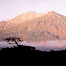
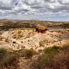
This caldera formed roughly two to three million years ago when a massive volcanic mountain collapsed inward, creating the structure we see today. The collapse created a natural barrier that allowed an isolated world to develop on its own.
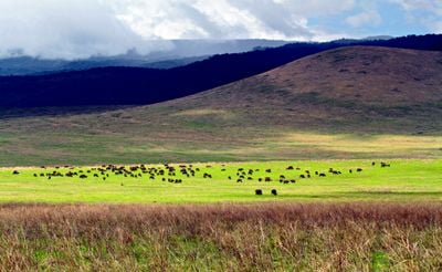
The Maasai people have grazed their herds here for centuries and continue to live alongside the wildlife under conservation agreements. Visitors can observe how traditional pastoral life adapts within this protected landscape today.
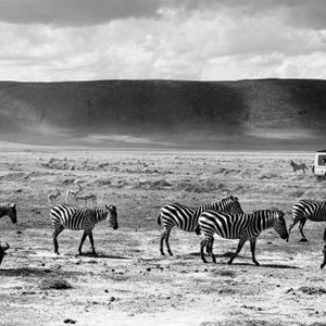
Visit during the dry season when wildlife gathers at water sources and roads remain passable and clear. A guided tour is helpful since navigation can be confusing and a guide can explain the animals and landscape better.
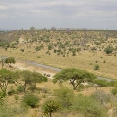
The crater floor supports a stable black rhinoceros population that is rarely hunted in this isolated setting. These rare animals can be spotted relatively regularly here, something increasingly difficult elsewhere in Africa.
The community of curious travelers
AroundUs brings together thousands of curated places, local tips, and hidden gems, enriched daily by 60,000 contributors worldwide.