
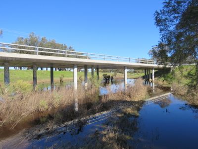
Karnup Road bridge, bridge in Western Australia
Location: City of Rockingham
Location: Shire of Serpentine-Jarrahdale
GPS coordinates: -32.36975,115.85046
Latest update: September 23, 2025 16:56
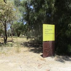
Rockingham Lakes Regional Park
10.1 km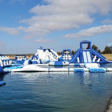
Perth Wake Park
8 km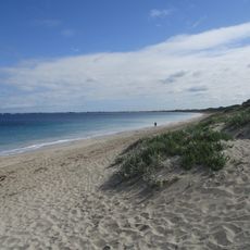
Warnbro Beach
10.4 km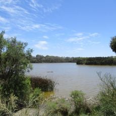
Wellard Wetlands
7.8 km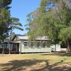
Former Baldivis Primary School
7.5 km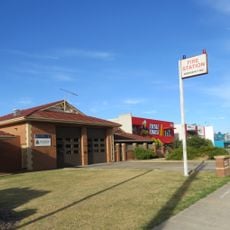
Rockingham Fire Station
12.9 km
Mead Homestead
12.1 km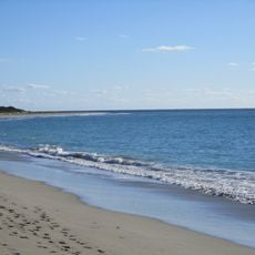
Port Kennedy Scientific Park
10.2 km
Tamworth Hill
7.2 km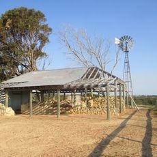
Lark Hill homestead
8.2 km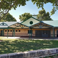
Hourglass Reserve, Cooloongup
11.2 km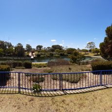
Centenary Park
12 km
Anniversary Park
13 km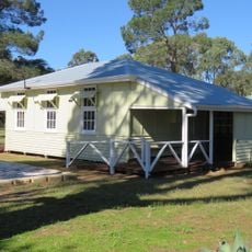
Hopeland Community Hall
5.6 km
Don Cuthbertson Reserve, Cooloongup
11.7 km
Lark Hill
9.8 km
Dixon Road Abattoir
12.6 km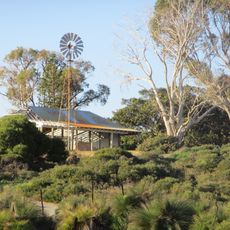
Lark Hill Nature Trails
8.3 km
Baldivis Tramway Reserve
4 km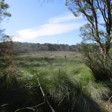
Tamworth Hill Swamp
5.9 km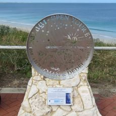
Houtman and Dedel Commemorative Plaque
10.6 km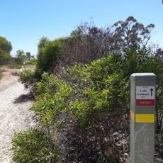
Leda Lookout
13 km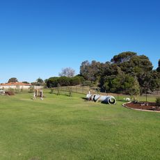
Seahaven Reserve Enclosed Dog Exercise Area
11.7 km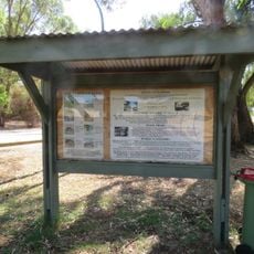
Baldivis Nature Reserve
7.6 km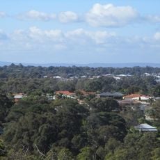
Kwinana Lookout
13 km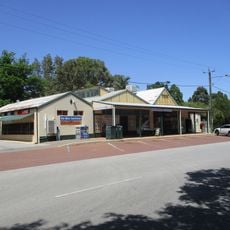
Serpentine General Store
12 km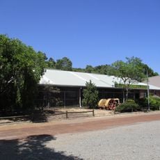
Serpentine Vintage Tractor Museum
12.4 km
Lark Hill Thoroughbred Training Complex
7.5 kmVisited this place? Tap the stars to rate it and share your experience / photos with the community! Try now! You can cancel it anytime.
Discover hidden gems everywhere you go!
From secret cafés to breathtaking viewpoints, skip the crowded tourist spots and find places that match your style. Our app makes it easy with voice search, smart filtering, route optimization, and insider tips from travelers worldwide. Download now for the complete mobile experience.

A unique approach to discovering new places❞
— Le Figaro
All the places worth exploring❞
— France Info
A tailor-made excursion in just a few clicks❞
— 20 Minutes