
Shire of Capel, local government area in south west region of Western Australia
Location: Western Australia
Elevation above the sea: 31 m
Website: http://capel.wa.gov.au
GPS coordinates: -33.55700,115.56600
Latest update: March 7, 2025 02:00


St Boniface Anglican Cathedral
26 km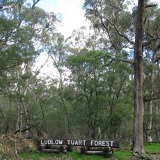
Tuart Forest National Park
4.8 km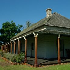
Wonnerup House
14.6 km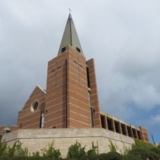
St Patrick's Cathedral
26.2 km
Bunbury Wildlife Park
24.7 km
House 11 Shenton Street, East Bunbury
26.5 km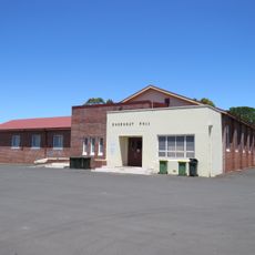
Dardanup Hall
25 km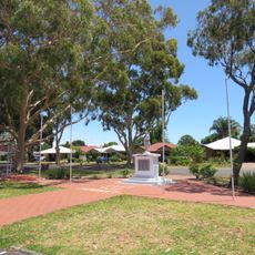
Dardanup War Memorial
25 km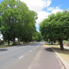
Avenue of Honour, Boyanup
17.3 km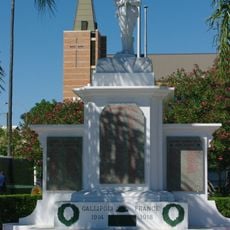
Anzac Park
26.4 km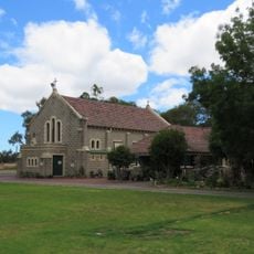
Our Lady of Immaculate Conception, Dardanup
24.9 km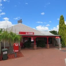
Dardanup Post Office
24.8 km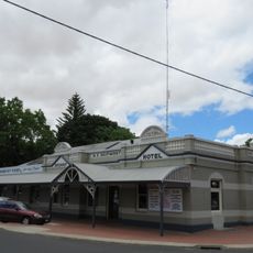
Dardanup Hotel
24.8 km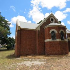
St Mary's Anglican Church, Dardanup
24.6 km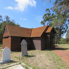
St Mark's Anglican Church
25.4 km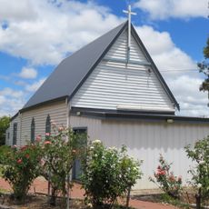
St Louis Catholic Church, Boyanup
17.3 km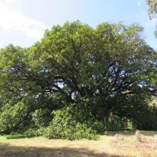
Moreton Bay Fig Tree & Charterhouse site
25.4 km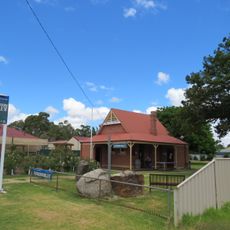
Dardanup State School (former)
24.9 km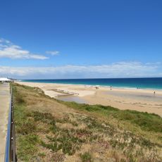
Back Beach, Bunbury
26.1 km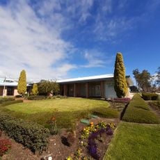
Capel shire offices
497 m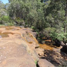
Ironstone Gully Falls
16.6 km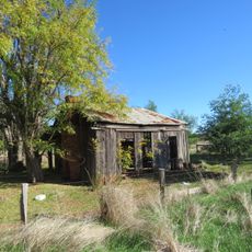
Slab Hut, Boyanup Farm
16.5 km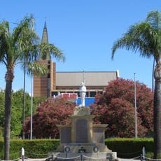
Catholic Cathedral Precinct, Bunbury
26.2 km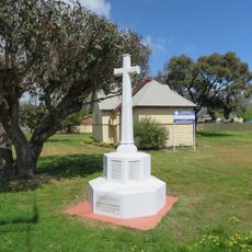
St Patrick's Anglican Church & War Memorial, Rathmines
26.6 km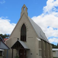
Thomas Little Memorial Hall
24.9 km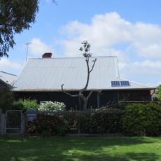
Clifton Residence , Rathmines
26.6 km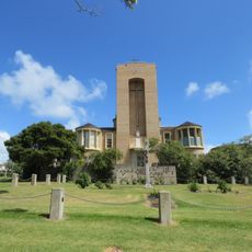
St Boniface Anglican Cathedral & Bishopscourt
26 km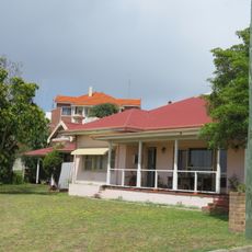
House at 10 Turner Street
26.3 kmVisited this place? Tap the stars to rate it and share your experience / photos with the community! Try now! You can cancel it anytime.
Discover hidden gems everywhere you go!
From secret cafés to breathtaking viewpoints, skip the crowded tourist spots and find places that match your style. Our app makes it easy with voice search, smart filtering, route optimization, and insider tips from travelers worldwide. Download now for the complete mobile experience.

A unique approach to discovering new places❞
— Le Figaro
All the places worth exploring❞
— France Info
A tailor-made excursion in just a few clicks❞
— 20 Minutes