
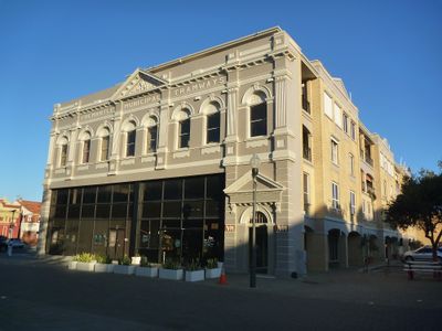
Fremantle Municipal Tramways Car Barn, former tram car barn in Fremantle, Western Australia
Location: City of Fremantle
Inception: 1905
GPS coordinates: -32.05643,115.74217
Latest update: September 24, 2025 10:15
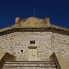
Round House
91 m
Commissariat Buildings
107 m
Tarantella Night Club
165 m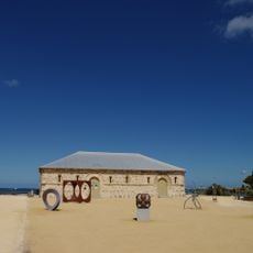
Old Kerosene Store
138 m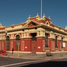
7 High Street, Fremantle
78 m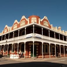
P&O Hotel
152 m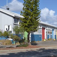
J Shed
155 m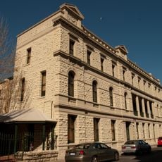
Hotel Fremantle
111 m
Wilhelmsen House
125 m
Strelitz Buildings
150 m
Union Bank, Fremantle
85 m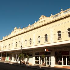
Owston's Buildings
112 m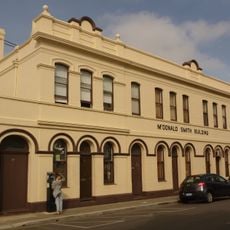
McDonald Smith Building
75 m
Reckitt & Colman Building Facade
50 m
Commercial Building, 6-8 Cliff Street
136 m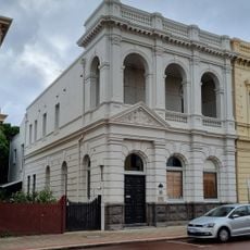
Bank of Australasia building
141 m
Cellar's Restaurant
115 m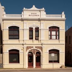
Dock Buildings
153 m
Tannatt Chambers
108 m
Lilly's Buildings
78 m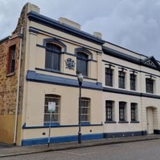
WAREHOUSE, (FMR TIMOTHY'S TOYS), LOT 11, 1 CROKE LANE
48 m
Commercial Bank building
149 m
Dalgety's Bond Store
113 m
Office/Residence, 16–18 Cliff Street
79 m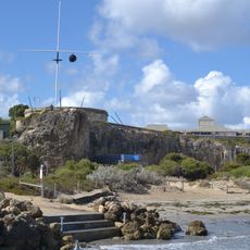
Round House and Arthur Head Reserve
86 m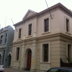
Commercial Building, 16 High Street
135 m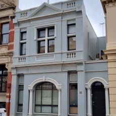
Commercial Building, 12 High Street
135 m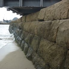
Old Sea Wall
149 mVisited this place? Tap the stars to rate it and share your experience / photos with the community! Try now! You can cancel it anytime.
Discover hidden gems everywhere you go!
From secret cafés to breathtaking viewpoints, skip the crowded tourist spots and find places that match your style. Our app makes it easy with voice search, smart filtering, route optimization, and insider tips from travelers worldwide. Download now for the complete mobile experience.

A unique approach to discovering new places❞
— Le Figaro
All the places worth exploring❞
— France Info
A tailor-made excursion in just a few clicks❞
— 20 Minutes