
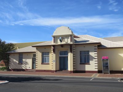
Harvey shire offices, Local government building in Western Australia
Location: Western Australia
Location: Shire of Harvey
Inception: August 12, 1935
GPS coordinates: -33.07973,115.89328
Latest update: March 3, 2025 15:58
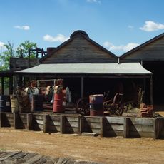
Yarloop Workshops
13.4 km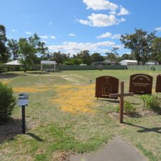
St Joseph's Church & Cottage
14.1 km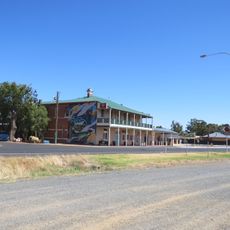
Wokalup Tavern
3.8 km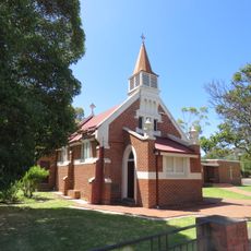
St Peter's Anglican Church
20 km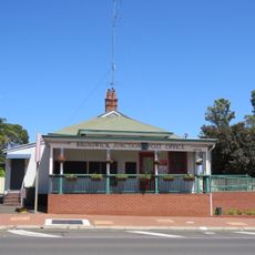
Brunswick Junction Post Office
19.9 km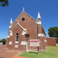
St Michael's Church
20.1 km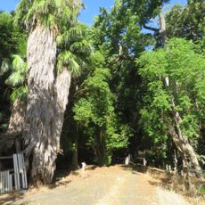
Hamel Nursery
23.7 km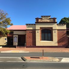
Brunswick Memorial Hall
20 km
Hamel Hall
23.1 km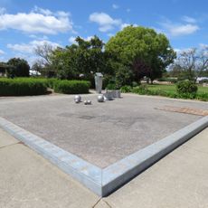
Drakesbrook School (former)
25.4 km
Peters Creamery
20.3 km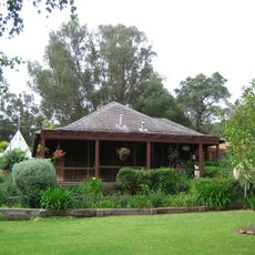
Stirling Cottage
1.6 km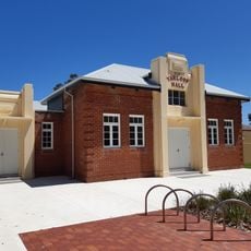
Yarloop Town Hall
13.8 km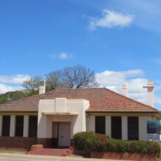
Former Irrigation Office, Waroona
26.2 km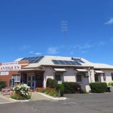
Former Bank of New South Wales, Waroona
26.3 km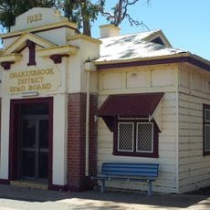
Drakesbrook District Road Board building
26.3 km
Railway Cottages, Waroona
25.2 km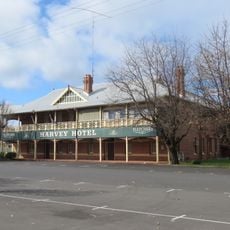
Harvey Hotel
466 m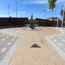
Harvey War Memorial
53 m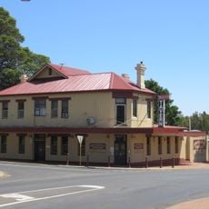
Brunswick Tavern
19.9 km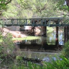
Harvey River Bridge
1.6 km
Waroona Memorial Hall
26.2 km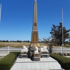
Yarloop War Memorial
13.4 km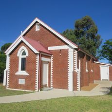
Church of Our Lady of the Immaculate Conception, Harvey
139 m
Waroona Scout and Guide Hall
26.1 km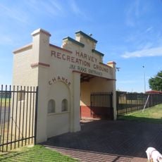
Harvey Recreation Grounds
205 m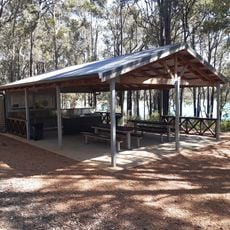
Lake Brockman Tourist Park
11.4 km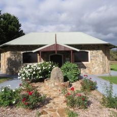
Italian Prisoner of War Shrine at Harvey Agric High School
1.7 kmVisited this place? Tap the stars to rate it and share your experience / photos with the community! Try now! You can cancel it anytime.
Discover hidden gems everywhere you go!
From secret cafés to breathtaking viewpoints, skip the crowded tourist spots and find places that match your style. Our app makes it easy with voice search, smart filtering, route optimization, and insider tips from travelers worldwide. Download now for the complete mobile experience.

A unique approach to discovering new places❞
— Le Figaro
All the places worth exploring❞
— France Info
A tailor-made excursion in just a few clicks❞
— 20 Minutes