
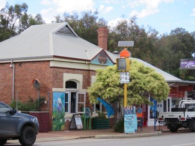
Former Road Board Office, Pinjarra, heritage listed building in Pinjarra, Western Australia
Location: Shire of Murray
Address: 28 George Street, Pinjarra
GPS coordinates: -32.62927,115.87443
Latest update: March 7, 2025 19:31
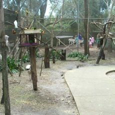
Ranger Red’s Zoo & Conservation Park
2.3 km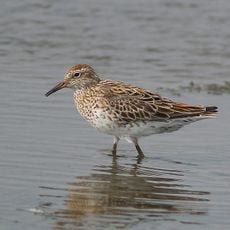
Lake McLarty Nature Reserve
17.1 km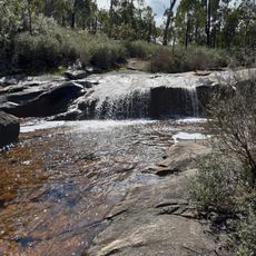
Marrinup Falls
14 km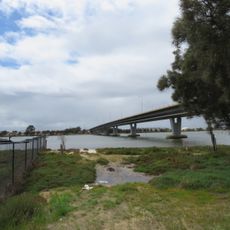
Mandurah Estuary Bridge
17.2 km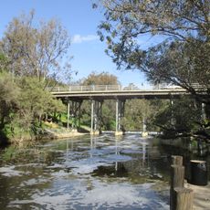
Pinjarra Traffic Bridge
377 m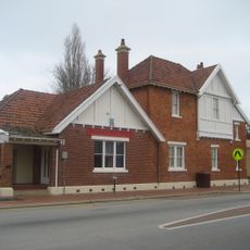
Pinjarra Post Office
73 m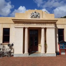
Pinjarra Court House (former)
52 m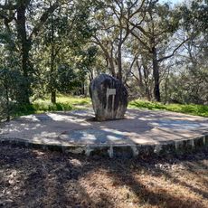
Pinjarra Massacre Site
1.4 km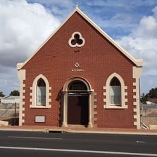
Masonic Hall, Pinjarra
198 m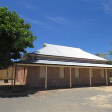
Exchange Hotel, Pinjarra
154 m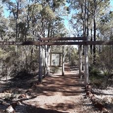
Marrinup Prisoner of War Camp
16 km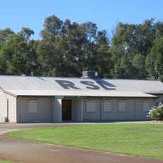
Pinjarra RSL Sub-Branch
482 m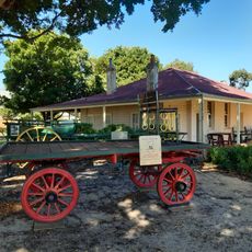
Liveringa Homestead, Pinjarra
298 m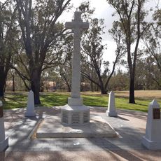
Pinjarra War Memorial
412 m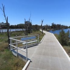
Joseph and Dulcie Nannup Trail
14 km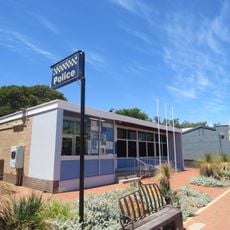
Pinjarra Police Station
36 m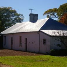
Old Blythewood
3.7 km
Edenvale Group
269 m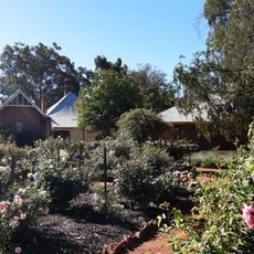
Pinjarra Heritage Rose Garden
325 m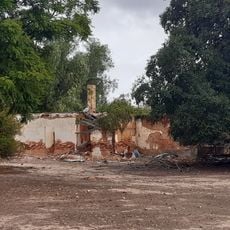
Creaton Ruins
3.6 km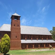
Chapel of the Holy Innocents, Fairbridge
7.7 km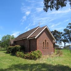
St Mary's Anglican Church, Coolup
12.2 km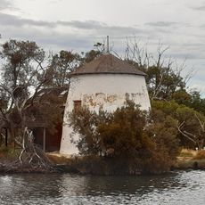
Cooper's Mill (fmr)
11.8 km
St John's Church, Pinjarra
348 m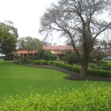
Edenvale
266 m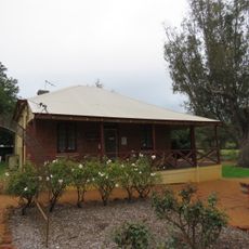
Old Schoolmaster’s House, Pinjarra
350 m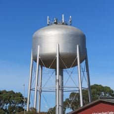
Mandurah water tower
16.8 km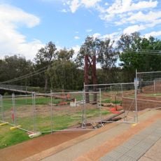
Pinjarra Suspension Bridge
158 mVisited this place? Tap the stars to rate it and share your experience / photos with the community! Try now! You can cancel it anytime.
Discover hidden gems everywhere you go!
From secret cafés to breathtaking viewpoints, skip the crowded tourist spots and find places that match your style. Our app makes it easy with voice search, smart filtering, route optimization, and insider tips from travelers worldwide. Download now for the complete mobile experience.

A unique approach to discovering new places❞
— Le Figaro
All the places worth exploring❞
— France Info
A tailor-made excursion in just a few clicks❞
— 20 Minutes