
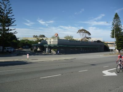
Railway Hotel, pub in North Fremantle, Western Australia
Location: City of Fremantle
GPS coordinates: -32.03704,115.75135
Latest update: March 29, 2025 07:03
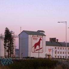
Dingo Flour sign
1 km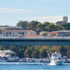
Stirling Bridge
800 m
Army Museum of Western Australia
953 m
Fremantle Railway Bridge
519 m
Fremantle Traffic Bridge
548 m
Dalgety Wool Stores
1.2 km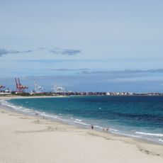
Leighton Beach
1 km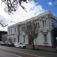
North Fremantle Town Hall
318 m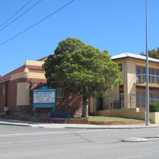
Christian Science Church, Fremantle
871 m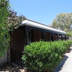
House, 66 Stirling Highway
509 m
Old Fremantle Railway Bridge
467 m
Gun House
822 m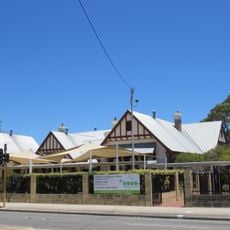
North Fremantle Primary School (former)
690 m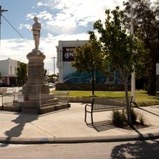
North Fremantle War Memorial
296 m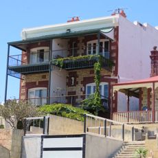
Glanville's Buildings
901 m
Fremantle Signal Station
835 m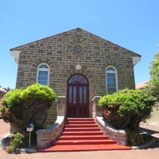
Activ Foundation Workshop
829 m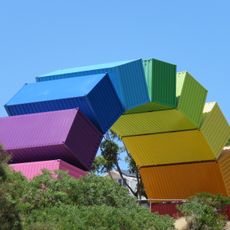
Rainbow
781 m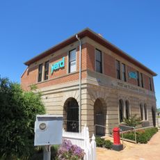
East Fremantle Post Office
1.1 km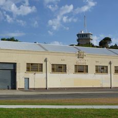
Navy Warehouse
753 m
Great Southern Roller Flour Mill
1 km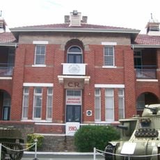
Artillery Barracks & Fremantle Harbour Signal Station
857 m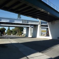
North Fremantle Railway Bridge
77 m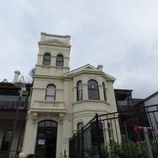
Hillcrest
597 m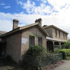
North Fremantle Post Office
203 m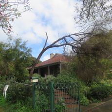
Rifle House
864 m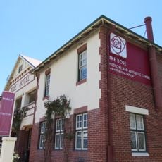
Rose Hotel
581 m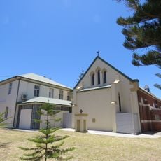
St Anne's RC Church & Presbytery
720 mReviews
Visited this place? Tap the stars to rate it and share your experience / photos with the community! Try now! You can cancel it anytime.
Discover hidden gems everywhere you go!
From secret cafés to breathtaking viewpoints, skip the crowded tourist spots and find places that match your style. Our app makes it easy with voice search, smart filtering, route optimization, and insider tips from travelers worldwide. Download now for the complete mobile experience.

A unique approach to discovering new places❞
— Le Figaro
All the places worth exploring❞
— France Info
A tailor-made excursion in just a few clicks❞
— 20 Minutes