
East Fremantle Honour Roll, Council Offices, heritage listed site in East Fremantle, Western Australia
Location: Town of East Fremantle
Part of: Public Buildings, East Fremantle
GPS coordinates: -32.04145,115.76301
Latest update: March 12, 2025 19:22

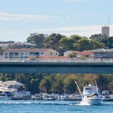
Stirling Bridge
419 m
Army Museum of Western Australia
913 m
Fremantle Railway Bridge
872 m
Fremantle Traffic Bridge
801 m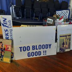
East Fremantle Football Club Hall of Fame
735 m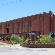
Church of the Immaculate Conception, East Fremantle
168 m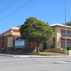
Christian Science Church, Fremantle
497 m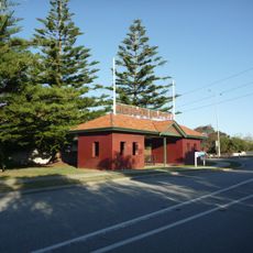
Richmond Raceway Entry Gates and Turnstile
629 m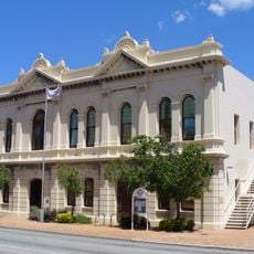
East Fremantle Town Hall
32 m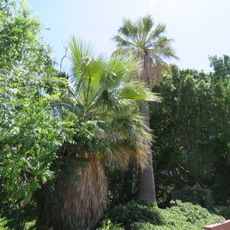
Palm Trees
653 m
Former Police Station
39 m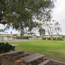
East Fremantle Primary School
819 m
Gun House
704 m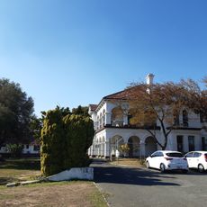
Woodside Hospital
824 m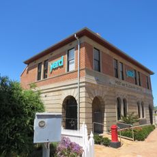
East Fremantle Post Office
61 m
Fremantle Signal Station
775 m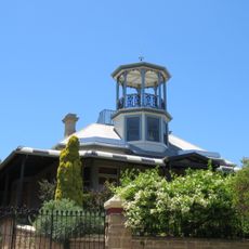
Knocknagow
412 m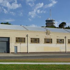
Navy Warehouse
748 m
Royal George Hotel
243 m
Glanville's Buildings
348 m
Rainbow
589 m
Aldgate
474 m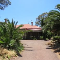
Woodlawn
663 m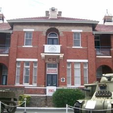
Artillery Barracks & Fremantle Harbour Signal Station
841 m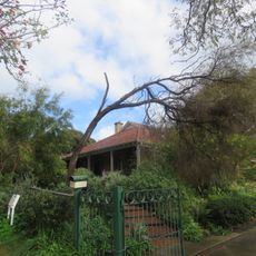
Rifle House
729 m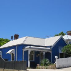
House, 26 King Street
152 m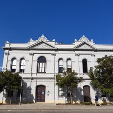
Public Buildings, East Fremantle
23 m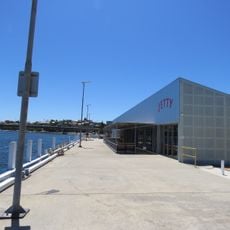
East Street Jetty Landing
583 mReviews
Visited this place? Tap the stars to rate it and share your experience / photos with the community! Try now! You can cancel it anytime.
Discover hidden gems everywhere you go!
From secret cafés to breathtaking viewpoints, skip the crowded tourist spots and find places that match your style. Our app makes it easy with voice search, smart filtering, route optimization, and insider tips from travelers worldwide. Download now for the complete mobile experience.

A unique approach to discovering new places❞
— Le Figaro
All the places worth exploring❞
— France Info
A tailor-made excursion in just a few clicks❞
— 20 Minutes