
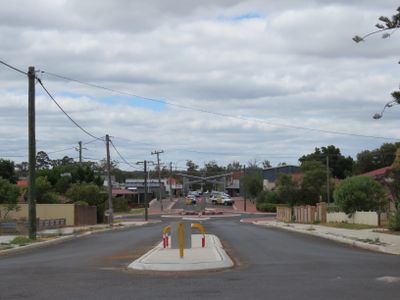
Brockman Street, Manjimup, street in Western Australia
Location: Shire of Manjimup
GPS coordinates: -34.24059,116.14483
Latest update: September 23, 2025 12:57
Gloucester Tree
24 km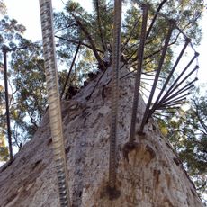
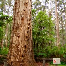
Diamond Tree
9.1 km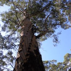
Gloucester National Park
24 km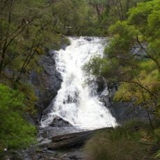
Greater Beedelup National Park
29.7 km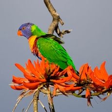
Sir James Mitchell National Park
25.5 km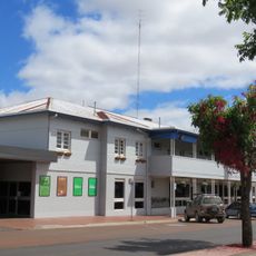
Manjimup Hotel
221 m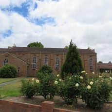
St Joseph's Catholic Church, Manjimup
317 m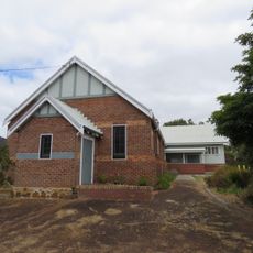
Manjimup Uniting Church & Hall
199 m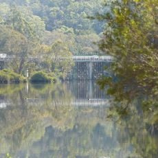
Bridgetown Road Bridge
30.3 km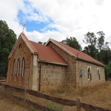
Dingup Anglican Church
5.7 km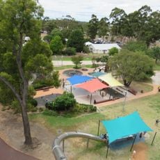
Manjimup Heritage Park
582 m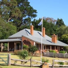
Bridgedale, Bridgetown
30.4 km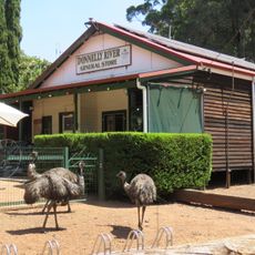
Donnelly River Mill & Townsite Precinct
21.9 km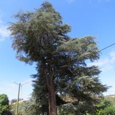
Blue Atlas Cedar Tree
30.4 km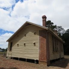
Jardee School
5.5 km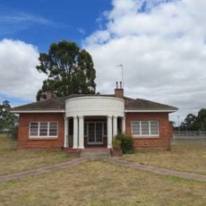
Manjimup Infant Health Centre (fmr)
255 m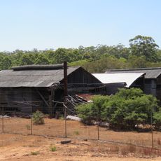
Donnelly River Mill
21.8 km
Jardee School House
5.5 km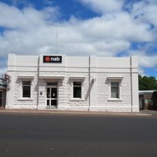
National Bank, Manjimup
183 m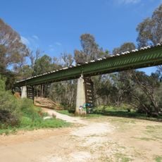
Bridgetown Railway Bridge
30.4 km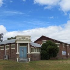
Masonic Lodge, Manjimup
254 m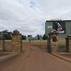
Manjimup Recreation Ground Gates
223 m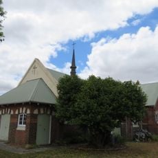
St Martin's Anglican Church, Manjimup
189 m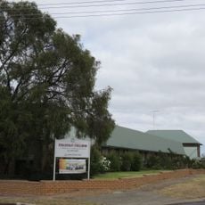
Kearnan College, Manjimup
316 m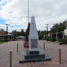
Manjimup War Memorial
192 m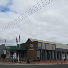
Manjimup shire offices
32 m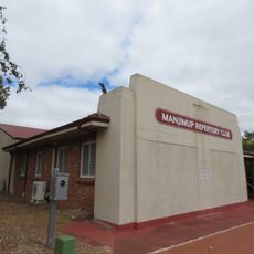
Manjimup Repertory Club
58 m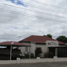
Manjimup RSL Hall
40 mReviews
Visited this place? Tap the stars to rate it and share your experience / photos with the community! Try now! You can cancel it anytime.
Discover hidden gems everywhere you go!
From secret cafés to breathtaking viewpoints, skip the crowded tourist spots and find places that match your style. Our app makes it easy with voice search, smart filtering, route optimization, and insider tips from travelers worldwide. Download now for the complete mobile experience.

A unique approach to discovering new places❞
— Le Figaro
All the places worth exploring❞
— France Info
A tailor-made excursion in just a few clicks❞
— 20 Minutes