
Boyup Brook, town in Western Australia, Australia
Location: Shire Of Boyup Brook
GPS coordinates: -33.83212,116.38531
Latest update: November 20, 2025 13:18

Greater Kingston National Park
30.5 km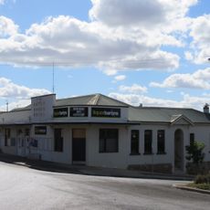
Boyup Brook Hotel
277 m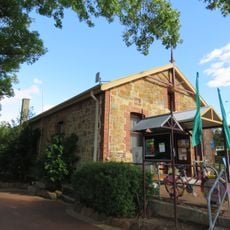
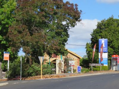
Boyup Brook Visitor Centre
348 m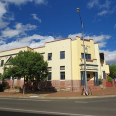
Bridgetown Civic and Community Centre
26.8 km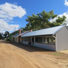
Flaxmill Caravan Park, Boyup Brook
1.4 km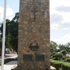
Boyup Brook War Memorial
110 m
Sandakan Park
97 m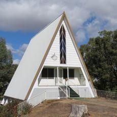
Seventh-day Adventist church, Boyup Brook
732 m
Kulikup School (former)
210 m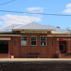
Boyup Brook Post Office
366 m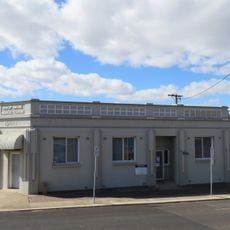
Commercial Bank of Australia (Fmr)
329 m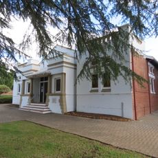
Boyup Brook Town Hall
102 m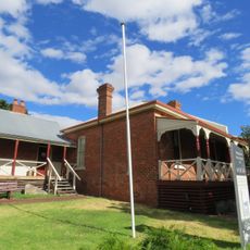
Old Gaol & Police Quarters, Bridgetown
26.8 km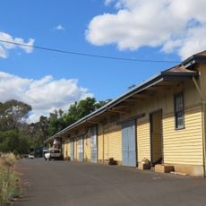
Paterson & Co Fruit Packing Shed Complex
26.7 km
Dinninup Hill
17.6 km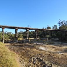
Boyup Brook railway bridge
2.2 km
Brooklyn School
25.4 km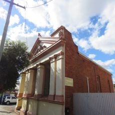
Bridgetown Roads Board Office (fmr)
26.8 km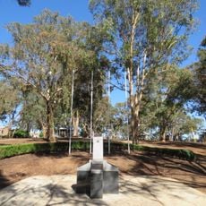
Sandakan Prisoner of War Memorial, Boyup Brook
61 m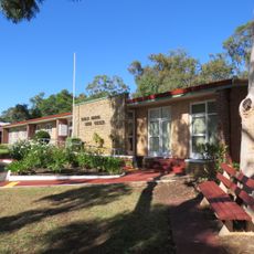
Boyup Brook shire offices
61 m
Norlup Homestead
21.4 km
Boyup Brook Golf Club
9 km
Lifecycle
26.8 km
The Totem Poles
26.5 km
Kaleidoscope
26.3 km
@HOME
26.2 km
Francis
26.3 km
Eric Charles Molyneux Memorial Stone
26.3 kmReviews
Visited this place? Tap the stars to rate it and share your experience / photos with the community! Try now! You can cancel it anytime.
Discover hidden gems everywhere you go!
From secret cafés to breathtaking viewpoints, skip the crowded tourist spots and find places that match your style. Our app makes it easy with voice search, smart filtering, route optimization, and insider tips from travelers worldwide. Download now for the complete mobile experience.

A unique approach to discovering new places❞
— Le Figaro
All the places worth exploring❞
— France Info
A tailor-made excursion in just a few clicks❞
— 20 Minutes