
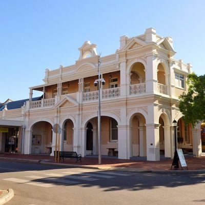
Narrogin Town Hall, heritage listed building in Narrogin, Western Australia
Location: Shire of Narrogin
Address: South west corner of Federal Street and Fortune Street, Narrogin WA 6312
GPS coordinates: -32.93468,117.17631
Latest update: September 25, 2025 20:29
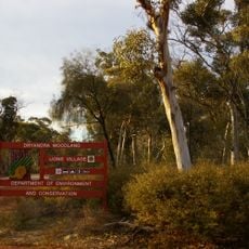
Dryandra Woodland National Park
29.5 km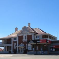
Williams Hotel
29.6 km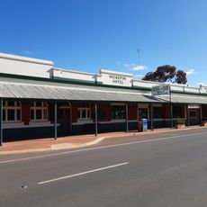
Wickepin Hotel
34.7 km
Cuballing Tavern
12.8 km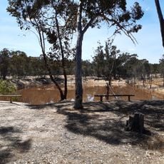
Congelin Railway Dam
30.2 km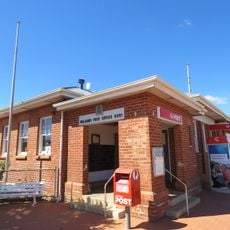
Williams Post Office
29.6 km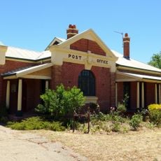
Cuballing Post Office & Quarters
12.9 km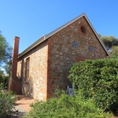
Williams Agricultural Hall
29.5 km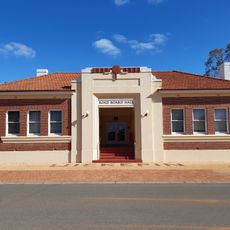
Wickepin Town Hall
34.7 km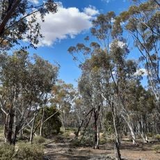
Dryandra Inland Arboretum
25.8 km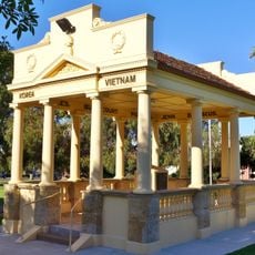
Narrogin War Memorial
122 m
West Australian Bank
12.9 km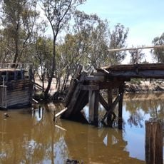
Pumphreys Old Bridge
39.6 km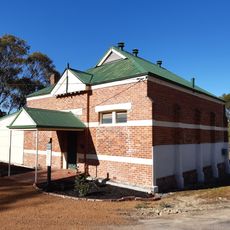
Wickepin Arts and Crafts Organisation
34.7 km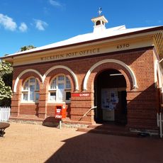
Wickepin Post Office
34.7 km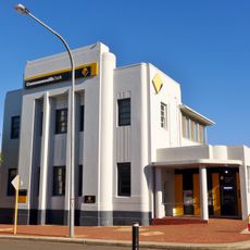
Commonwealth Bank building, Narrogin
102 m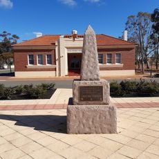
Wickepin War Memorial
34.7 km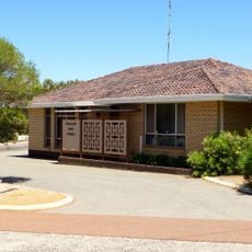
Cuballing shire offices
12.8 km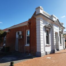
Former ANZ Bank, Wickepin
34.8 km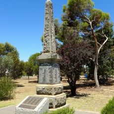
Cuballing War Memorial
12.8 km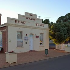
Wagin Public Library
44.4 km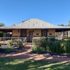
Albert Facey Homestead
34.7 km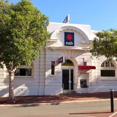
National Bank, Narrogin
121 m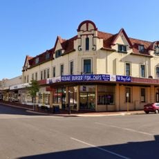
Mardoc Building, Narrogin
234 m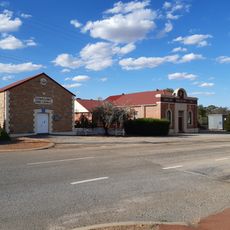
Cuballing Civic Group
12.9 km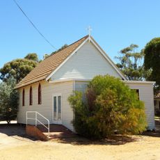
St John's Anglican Church, Wickepin
34.7 km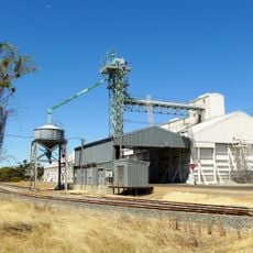
Wickepin grain receival point
34.2 km
Neta Vale homestead
43.8 kmVisited this place? Tap the stars to rate it and share your experience / photos with the community! Try now! You can cancel it anytime.
Discover hidden gems everywhere you go!
From secret cafés to breathtaking viewpoints, skip the crowded tourist spots and find places that match your style. Our app makes it easy with voice search, smart filtering, route optimization, and insider tips from travelers worldwide. Download now for the complete mobile experience.

A unique approach to discovering new places❞
— Le Figaro
All the places worth exploring❞
— France Info
A tailor-made excursion in just a few clicks❞
— 20 Minutes