Dryandra Woodland National Park, Nature reserve in Wheatbelt region, Australia.
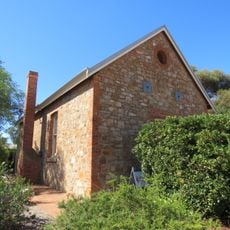
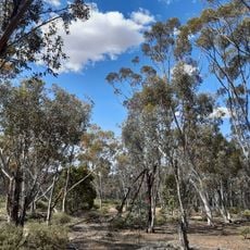
Dryandra Woodland is a nature reserve made up of 17 separate woodland blocks covering approximately 28,000 hectares filled with eucalypt forests, wandoo trees, and a variety of native plants. The landscape ranges from dense forest areas to more open sections with shrubby vegetation throughout.
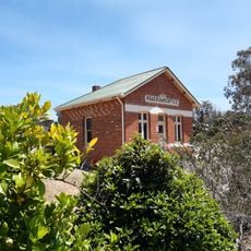
The area started as a state forest in 1903 and gradually evolved through decades of conservation work focused on protecting woodlands and wildlife. It officially became a national park in 2022 after sustained management efforts.
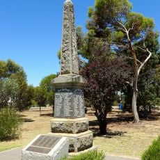
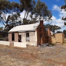
The woodland holds deep meaning for the Wiilman people of the Noongar nation, who know it as Wilgadjny and have used this land for generations. You can see evidence of their presence through ochre pits and artifact sites scattered across the reserve.
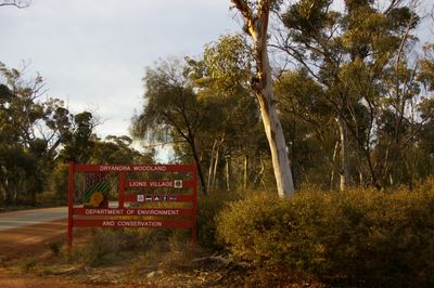
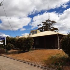
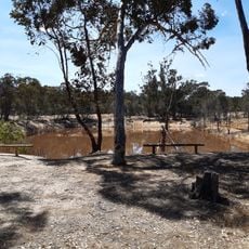
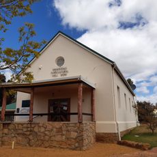
The reserve offers camping at Congelin and Gnaala Mia campgrounds plus overnight stays at Lions Village for visitors with different preferences. A scenic drive route through the woodland extends for about 23 kilometers and gives easy access to the landscape.
Within the reserve sits Barna Mia, a predator-proof sanctuary where you can observe nocturnal animals like numbats and woylies in a protected setting. This specialized area gives endangered species a place to thrive and demonstrates modern conservation techniques.
The community of curious travelers
AroundUs brings together thousands of curated places, local tips, and hidden gems, enriched daily by 60,000 contributors worldwide.