
Shackleton, town in the wheatbelt region of Western Australia
Location: Shire Of Bruce Rock
GPS coordinates: -31.93170,117.83683
Latest update: April 1, 2025 18:28
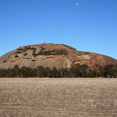
Kokerbin Rock
13.2 km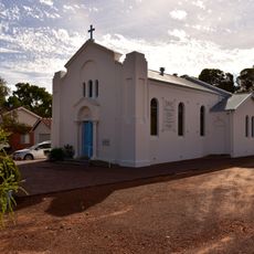
St Francis Xavier Roman Catholic Church of Quairading
42.2 km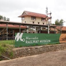
Merredin Railway Museum
65.1 km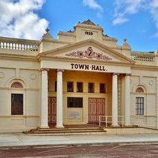
Corrigin Town Hall
44.5 km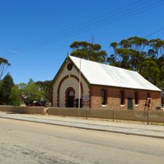
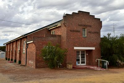
Agricultural Hall, Kellerberrin
35.1 km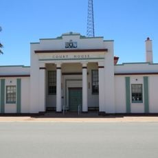
Court House
65.5 km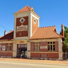
Merredin District Hall
65.4 km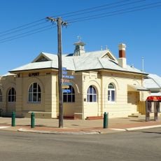
Merredin Post Office
65.2 km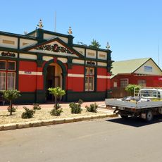
Roads Board Hall and Gardens
64.5 km
Merredin Cinema
65 km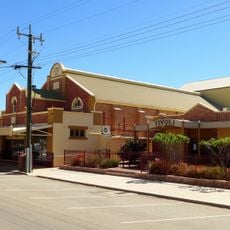
Cummins Theatre
65.4 km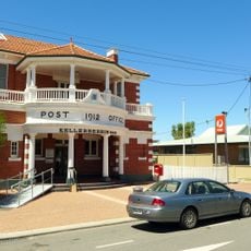
Kellerberrin Post Office & Residence
35 km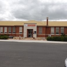
Merredin Public Library
65.4 km
2/1 Australian General Hospital (ruins), Merredin
66.9 km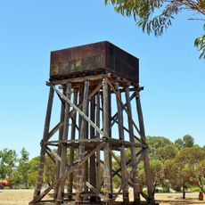
Railway Water Tower, Cunderdin
64.4 km
Narembeen Civic Precinct
54.8 km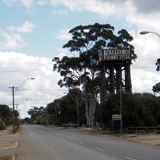
Merredin Railway Water Tank
65.2 km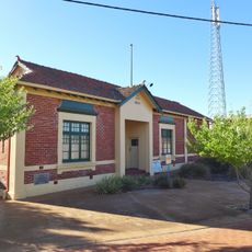
Narembeen Roads Board Building
54.8 km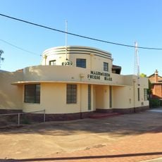
Narembeen Public Hall
54.8 km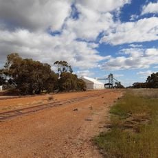
Bullaring grain receival point
63.6 km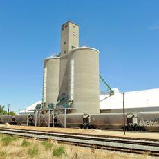
Cunderdin grain receival point
64.6 km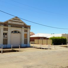
Kellerberrin Fire Station
34.9 km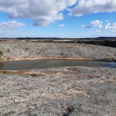
Gorge Rock Nature Reserve
60.5 km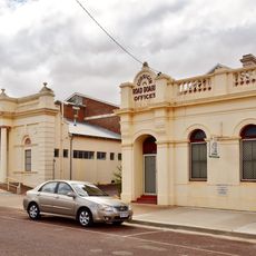
Corrigin Town Hall & Road Board Office
44.5 km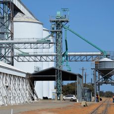
Yealering grain receival point
76.2 km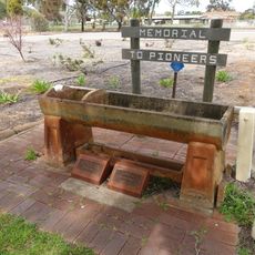
Bills Horse Trough, Merredin
65.3 km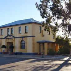
Bruce Rock Shire Offices
30 km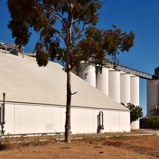
Tammin grain receival point
46 kmReviews
Visited this place? Tap the stars to rate it and share your experience / photos with the community! Try now! You can cancel it anytime.
Discover hidden gems everywhere you go!
From secret cafés to breathtaking viewpoints, skip the crowded tourist spots and find places that match your style. Our app makes it easy with voice search, smart filtering, route optimization, and insider tips from travelers worldwide. Download now for the complete mobile experience.

A unique approach to discovering new places❞
— Le Figaro
All the places worth exploring❞
— France Info
A tailor-made excursion in just a few clicks❞
— 20 Minutes