
Nungarin, locality in Western Australia
Location: Shire Of Nungarin
GPS coordinates: -31.18520,118.10028
Latest update: March 15, 2025 03:54
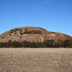
Kokerbin Rock
86.8 km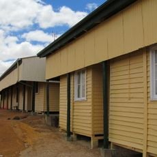
Wyalkatchem Railway Barracks
68.6 km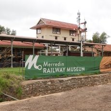
Merredin Railway Museum
37.2 km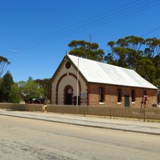
Agricultural Hall, Kellerberrin
61.4 km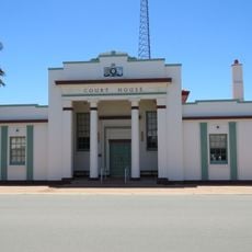
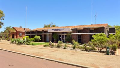
Court House
37.1 km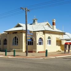
Merredin Post Office
37.1 km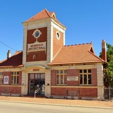
Merredin District Hall
37.1 km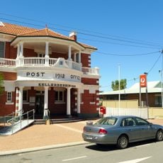
Kellerberrin Post Office & Residence
61.7 km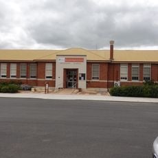
Merredin Public Library
36.8 km
Merredin Cinema
37 km
2/1 Australian General Hospital (ruins), Merredin
37.3 km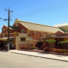
Cummins Theatre
37 km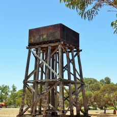
Railway Water Tower, Cunderdin
96.7 km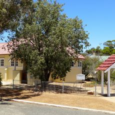
All Saints Anglican Church
30.1 km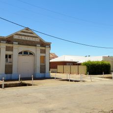
Kellerberrin Fire Station
61.6 km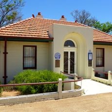
Alice Williams Memorial Building, Nungarin
152 m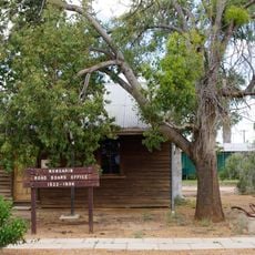
Nungarin Roads Board Office (fmr)
85 m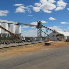
Wyalkatchem grain receival point
68 km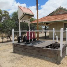
Lever Frame. Wyalkatchem Station
68.5 km
Merredin Railway Water Tank
37.3 km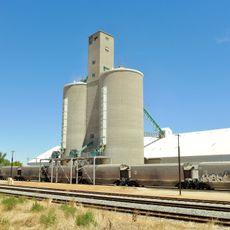
Cunderdin grain receival point
96.4 km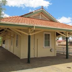
Wyalkatchem Railway Station
68.5 km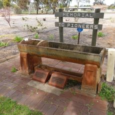
Bills Horse Trough, Merredin
37.2 km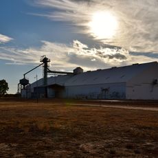
Gabbin grain receival point
58.9 km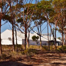
Nembudding grain receival point
50.7 km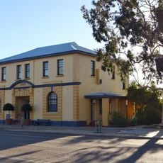
Bruce Rock Shire Offices
77.4 km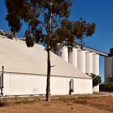
Tammin grain receival point
77 km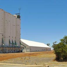
Trayning grain receival point
30.1 kmVisited this place? Tap the stars to rate it and share your experience / photos with the community! Try now! You can cancel it anytime.
Discover hidden gems everywhere you go!
From secret cafés to breathtaking viewpoints, skip the crowded tourist spots and find places that match your style. Our app makes it easy with voice search, smart filtering, route optimization, and insider tips from travelers worldwide. Download now for the complete mobile experience.

A unique approach to discovering new places❞
— Le Figaro
All the places worth exploring❞
— France Info
A tailor-made excursion in just a few clicks❞
— 20 Minutes