
Minnipa, town in South Australia
Location: Wudinna District Council
GPS coordinates: -32.85384,135.15412
Latest update: April 18, 2025 11:20
Acraman crater
97.3 km
Woomera Immigration Reception and Processing Centre
242.6 km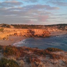
Lincoln National Park
230.4 km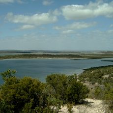
Coffin Bay National Park
192.8 km
Murphys Haystacks
64.5 km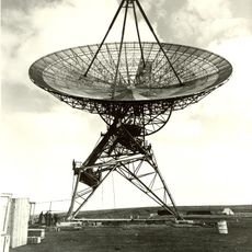
Island Lagoon Tracking Station
231.4 km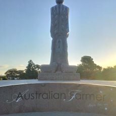
Australian Farmer
36.2 km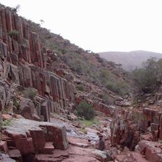
Gawler Ranges National Park
43.2 km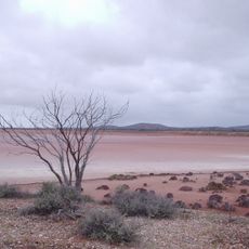
Lake Gairdner National Park
152.3 km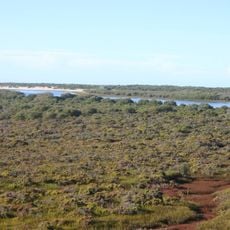
Acraman Creek Conservation Park
112.8 km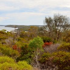
Kellidie Bay Conservation Park
198.5 km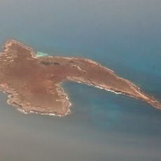
Stickney Island
227.8 km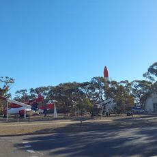
Rocket Park
242.5 km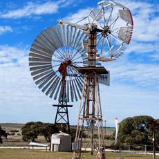
Penong Windmill Museum
226.5 km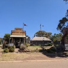
Koppio Smithy Museum-National Trust
186 km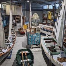
Axel Stenross Maritime Museum
216 km
Hall Beach
125.9 km
Talia Beach
62.4 km
Whistling Hill
101.7 km
Loch Well Beach
99.7 km
Red Banks Beach
234.2 km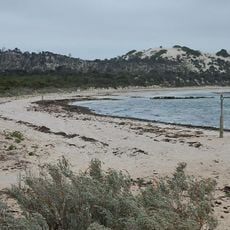
Long Beach
199.3 km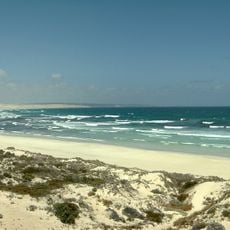
Almonta Beach
204.2 km
Lone Pine Lookout
229.8 km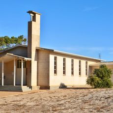
St Francis of Assisi Catholic Church, Elliston
91.8 km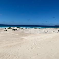
Mary Ellis Wreck Beach
229.5 km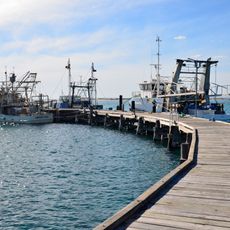
Venus Bay Jetty
61.4 km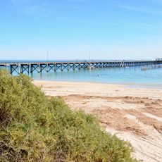
Smoky Bay Jetty
126.1 kmReviews
Visited this place? Tap the stars to rate it and share your experience / photos with the community! Try now! You can cancel it anytime.
Discover hidden gems everywhere you go!
From secret cafés to breathtaking viewpoints, skip the crowded tourist spots and find places that match your style. Our app makes it easy with voice search, smart filtering, route optimization, and insider tips from travelers worldwide. Download now for the complete mobile experience.

A unique approach to discovering new places❞
— Le Figaro
All the places worth exploring❞
— France Info
A tailor-made excursion in just a few clicks❞
— 20 Minutes