Ciletuh-Palabuhanratu Geopark, UNESCO Global Geopark in Sukabumi Regency, Indonesia
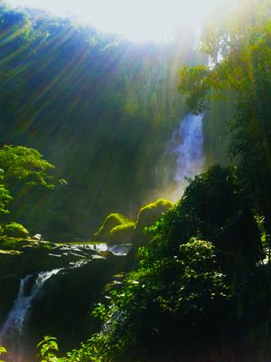
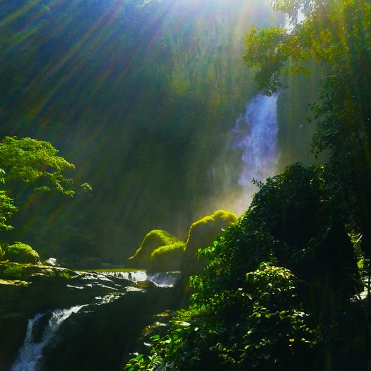
Ciletuh-Palabuhanratu Geopark covers about 128,000 hectares across 8 districts and 74 villages of Sukabumi Regency, West Java. Its terrain runs from mountains and hills to lowlands, Ciletuh Bay and the Indian Ocean coast. Among its sites are Puncak Darma, the park's highest point, the Curug Sodong, Awang and Cimarinjung waterfalls, Bukit Panenjoan, Lalay cave, Palangpang and Palabuhanratu beaches, and several thermal baths.
The geopark was recognised as a national geopark in 2015, and on 12 April 2018 the UNESCO Executive Board in Paris approved its entry into the Global Geoparks Network. West Java governor Ahmad Heryawan announced the decision at Palangpang Beach, and the certificate was handed over in September 2018. It was the first geopark in West Java and the third in Indonesia.
The name joins two bays of Sukabumi Regency, Teluk Ciletuh and Teluk Palabuhanratu. The geopark's centre sits at Palangpang Beach in Ciwaru village, Ciemas district, while its information centre is at Citepus Beach in Palabuhanratu. The park's GURILLAPPS formula lists the landscapes it covers: mountains, forest, valleys, sea, islands, beaches and rivers.
It's best to explore different sites across the geopark with a local guide who knows the terrain and can point out geological features. Good weather during the dry season makes trails easier to walk and water features more accessible for viewing.
The geopark connects mountains, forests, valleys, sea, islands, beaches, and rivers all within one protected area. This integration allows visitors to observe different landscapes and understand how geological processes link all these environments together.
The community of curious travelers
AroundUs brings together thousands of curated places, local tips, and hidden gems, enriched daily by 94,694 contributors worldwide.