Gunung Halimun, Stratovolcano in West Java and Banten, Indonesia
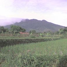
Gunung Halimun is a stratovolcano in West Java and Banten with a characteristic cone shape and steep slopes. The mountain reaches 1,929 meters in elevation and defines the landscape with its distinctive volcanic profile.
The mountain emerged as a volcanic formation during the Pleistocene epoch and is the highest point in Banten Province. This geological history reflects the ongoing tectonic activity in the region.
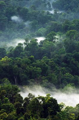
The name Halimun comes from the Sundanese language and refers to the dense fog that blankets the slopes throughout the year. Local communities view this natural phenomenon as a defining characteristic of the mountain and part of its identity.
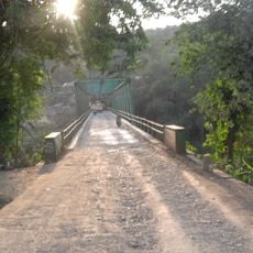
Visiting requires a permit from the national park authorities, which should be obtained before arrival. The main trail starts from Leuwijamang village at 800 meters elevation and passes through changing forest landscapes.
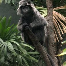
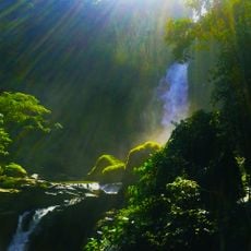
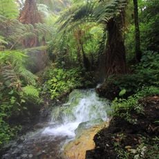
The mountain hosts one of Java's largest primary rainforests, where two major rivers, the Ci Durian and Cisadane, originate from their sources. This forest-covered area shelters many plant and animal species found nowhere else in the world.
The community of curious travelers
AroundUs brings together thousands of curated places, local tips, and hidden gems, enriched daily by 60,000 contributors worldwide.