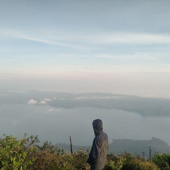
Lake Ranau, Lake and tourist attraction in South Sumatra, Indonesia.
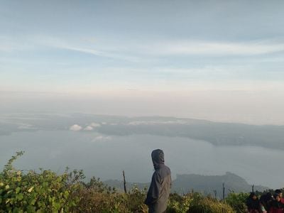
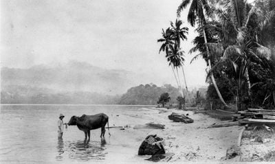
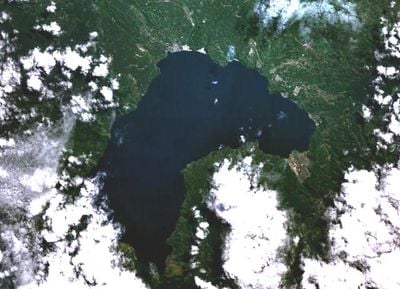
Lake Ranau fills an elongated caldera about 16.5 km by 12 km on the border of South Sumatra and Lampung, with its surface at 540 metres above sea level and a maximum depth of roughly 229 metres. Steep caldera walls and pyroclastic deposits ring the water, and the post-caldera stratovolcano Mount Seminung rises on the southern shore. The photographs show pale grey-blue water meeting a low wooded shoreline, with palms and scattered rough logs on sandy ground.
Lake Ranau formed when the Ranau Caldera erupted about 33,640 years ago with a VEI 7 explosion, releasing at least 150 km³ of volcanic material and collapsing the magma chamber into an elliptical basin roughly 16.5 by 12 km. Movement along the Great Sumatran Fault then deepened the depression as a pull-apart basin, which filled with rainwater and rivers. Gunung Seminung later grew on the southern rim.
Local communities have long relied on fishing here as a way of life, gathering food from the waters throughout the year. This practice remains an important part of daily routines for people living along the shore.
Paved roads connect the lake to major Sumatran cities, making it accessible to visitors arriving by vehicle or public transport. Accommodations near the shore range from simple guesthouses to larger resorts, with facilities available for different budgets and preferences.
An island at the center of the lake holds natural hot springs that flow directly into the surrounding waters. This meeting of thermal and cool waters creates an unusual natural feature that many visitors miss.
The community of curious travelers
AroundUs brings together thousands of curated places, local tips, and hidden gems, enriched daily by 94,701 contributors worldwide.