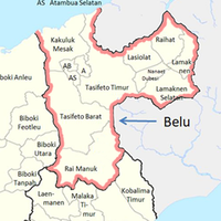
Belu, Administrative regency in East Nusa Tenggara, Indonesia
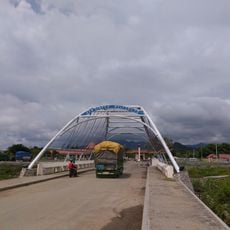
Belu is a regency in East Nusa Tenggara covering around 1,284 square kilometers across the northern part of Timor island, blending mountains, valleys, and coastal areas. It borders East Timor and is administered from Atambua as the main center, with twelve additional districts spread throughout.
The area was established on December 20, 1958, as an administrative region. In 2012, its southern portion separated to form the new Malaka Regency.
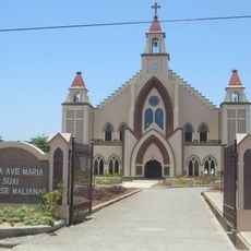
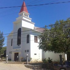
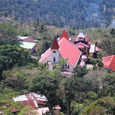
The local people speak Tetum and practice traditional ceremonies like Hamis Batar no Hatama Mamaik, a harvest celebration featuring music, dance, and shared meals. These rituals shape daily life and show how closely nature and community are woven together here.
The main town of Atambua is reachable via Haliwen Airport and the port of Atapupu, offering both air and sea connections. Getting around works best with your own transportation or arranged transport, as infrastructure is limited outside urban centers.
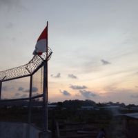
From beaches south of Atambua, you can see mountains in Australia on clear evenings, creating an unusual geographic connection. This rare view links two countries visually in a surprising way.
Location: East Nusa Tenggara
Inception: December 20, 1958
Capital city: Atambua
Elevation above the sea: 321 m
Shares border with: North Central Timor, Malaka, Ombai Strait, Timor-Leste
GPS coordinates: -9.10000,124.90000
Latest update: December 20, 2025 14:37
Ave Maria church
45.7 km
Sacred Heart Cathedral, Maliana
36.8 km
Marobo hot springs
47.2 km
Fort Balibo
21.4 km
Reduto do Conselheiro Jacinto Cândido
18.9 km
Igreja da Imaculada Conceição Bobonaro
47.2 km
Mota'ain Bridge
16.8 kmBeach Suailoro
49.7 kmFohorai Museum
8.8 kmStatue of our lady of the immaculate
14.2 kmIgreja stasaun Cailaco
41.7 kmHot spring Morobo
47.2 kmTamkesi
30.4 kmStatue of our lady of the Immaculate
14.2 kmMuseum Fohorai
4.3 kmFatuk louba
25.8 kmFatuk boot
20.9 kmIgreja Nossa Senhora De Fatima
48.9 kmAustralia flag house
21.4 kmScenic viewpoint
21.8 kmScenic viewpoint, monumental cross, summit cross, Christian cross
21.8 kmRuins
50.1 kmOld oilwell
50.2 kmPortuguese fort and police station
18.9 kmIndonesian independance statue
21.5 kmOld portuguese barracks;Former Portuguese garrison (ruins)
21.6 kmIndonesian independance monument
21.5 kmMonument
47.2 kmVisited this place? Tap the stars to rate it and share your experience / photos with the community! Try now! You can cancel it anytime.
Discover hidden gems everywhere you go!
From secret cafés to breathtaking viewpoints, skip the crowded tourist spots and find places that match your style. Our app makes it easy with voice search, smart filtering, route optimization, and insider tips from travelers worldwide. Download now for the complete mobile experience.
A unique approach to discovering new places❞
— Le Figaro
All the places worth exploring❞
— France Info
A tailor-made excursion in just a few clicks❞
— 20 Minutes