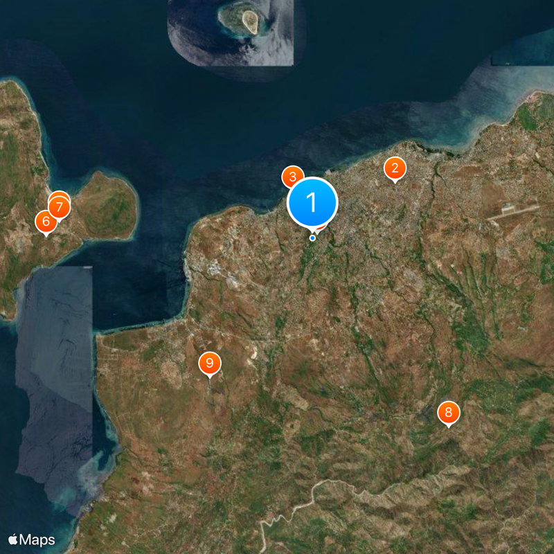
East Nusa Tenggara, Provincial territory with 500 islands in East Indonesia.
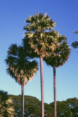
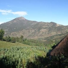
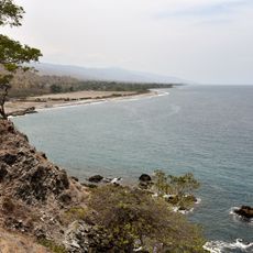
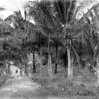
East Nusa Tenggara (Nusa Tenggara Timur) is a province in Indonesia stretching across the eastern half of the Sunda Arc, encompassing around 550 islands, most of which are hilly and covered in savanna grasses. The area borders West Nusa Tenggara to the west and Timor-Leste to the east, with the main islands of Flores, Sumba, Timor, Alor, and Rote featuring narrow coastal plains and forested hills.
Portuguese traders reached the islands in the 16th century and established trading posts before the Dutch East India Company took control in the 17th century. After Indonesian independence, the area was formally created as a separate province in 1958 with Kupang as its capital.
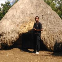
The name derives from its position in the eastern part of the Lesser Sunda Islands, while the 500-plus islands host numerous remote communities that blend animist practices with Christian rituals. In many villages, women still weave ikat cloth on traditional looms, and stone altars with carved figures are found in highland regions.
The rainy season runs from December to March and brings heavy downpours to the mountainous regions, while the dry season from April to November makes most ferry connections and overland roads more reliable. Many smaller islands require boat crossings that can be canceled in rough seas, so flexibility in travel planning is important.
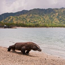
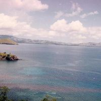
Komodo dragons, the largest living lizards in the world, roam several islands in this province, including Komodo, Rinca, and Padar, where they can reach up to 10 feet (3 meters) in length. The waters around the islands contain some of the most biodiverse marine habitats on Earth, part of the so-called Coral Triangle.
The community of curious travelers
AroundUs brings together thousands of curated places, local tips, and hidden gems, enriched daily by 60,000 contributors worldwide.