Manupeu Tanah Daru National Park, National park in East Nusa Tenggara, Indonesia
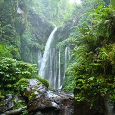
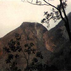
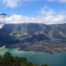
Manupeu Tanah Daru National Park covers 879.8 km² of semi-evergreen lowland forest on Sumba, spanning West, Central and East Sumba regencies. Its steep slopes rise from sea level to 918 m, and the forest includes species such as Toona sureni, Sterculia foetida and Schleichera oleosa.
Manupeu Tanah Daru was designated a national park by Ministry of Forestry decree SK.576/Kpts-II/1998, covering 879.8 km². The area spans three regencies on Sumba: West Sumba, Central Sumba and East Sumba, and protects the last remaining semi-evergreen lowland forest on the island, from sea level up to 918 m.
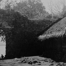
Near the park, in Waikabubak, carved ancient tombs such as Kadung Tana, Watu Karagata and Bulu Peka Mila mark social status. The Pasola ritual, held in February in Lamboya and Kodi and in March in Gaura and Wanukaka, involves horsemen in colourful dress charging at each other with wooden spears.
You can explore the park on established trails and stay in community-run lodges that provide basic accommodations. The driest months from March to June and October to December offer the most comfortable conditions for walking through the forests.
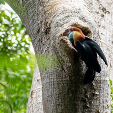
Seven of the park's 57 butterfly species are found only on Sumba, among them Papilio neumoegenii, Ideopsis oberthurii and Delias fasciata. The Sumba hornbill (Rhyticeros everetti) and the Sumba yellow-crested cockatoo (Cacatua sulphurea citrinocristata) are the rarest birds in the reserve.
The community of curious travelers
AroundUs brings together thousands of curated places, local tips, and hidden gems, enriched daily by 93,764 contributors worldwide.