South Central Timor Regency, Administrative regency in East Nusa Tenggara, Indonesia.
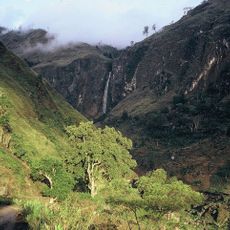
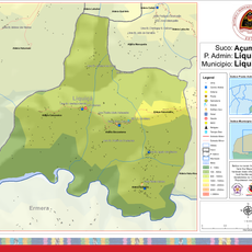
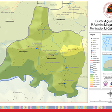
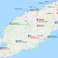
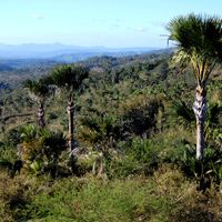
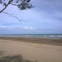
South Central Timor Regency is an administrative district in East Nusa Tenggara with varying landscape that ranges from mountains to coastal zones across several thousand square kilometers. Soe serves as its capital, organizing the territory into thirty-two smaller districts throughout the region.
This regency was established in 1958, merging what had been separate kingdoms under a unified administration. Its creation reflected broader changes in how Indonesia organized its territories after independence.
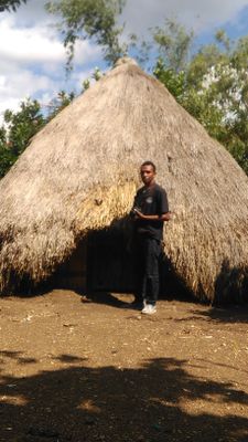
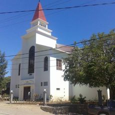
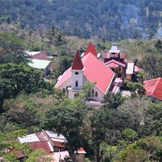
The communities here maintain traditional farming methods and handicraft techniques that shape daily life across the districts. These practices are visible in the fields, markets, and workshops where people continue to work as their families have done for generations.
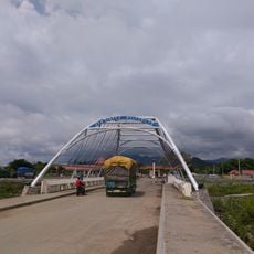
The area is primarily agricultural, with local markets offering insight into how people live and work. Visitors benefit from spending time in different districts and engaging with local residents to understand the region better.
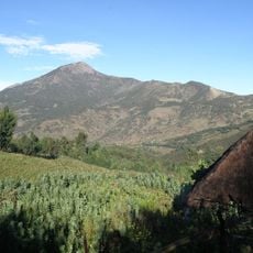
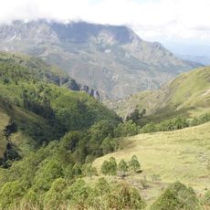
Mount Mutis rises in the north as the region's highest peak and shelters several bird species found nowhere else nearby. The mountain draws visitors interested in seeing these birds or taking in views from higher elevations.
Location: East Nusa Tenggara
Capital city: Soe
Elevation above the sea: 658 m
Shares border with: North Central Timor Regency, Malaka Regency, Kupang Regency
GPS coordinates: -9.47167,124.80472
Latest update: December 7, 2025 19:25
Mount Ramelau
98.4 km
Mount Sirung
131.3 km
Lifau monument
61.1 km
Noefefan Bridge
61.5 km
Ave Maria church
52.4 km
Fort Santo António of Lifau
62.3 km
Bandeira Waterfall
92.1 km
Sacred Heart Cathedral, Maliana
70.2 km
Kay Rala Xanana Gusmão National Park
105.2 km
Marobo hot springs
77.7 km
Fort Balibo
61.8 km
Reduto do Conselheiro Jacinto Cândido
61.3 km
Memorial do Dom Aleixo
94.1 km
Fort Concordia
155.3 km
Igreja de Nossa Senhora do Rosário, Pante Macassar
56.4 km
Fatunero
108 km
Ergoa
107.5 km
Nossa Senhora de Fátima
93.9 km
Hatu-Hou
107.2 km
Caicasaico
105.6 km
Urluli
107.9 km
Manupatia
108.4 km
Tatrof Bohah Baliza
103.1 km
Siscoelema
105.9 km
Quirilelo
105 km
Igreja da Imaculada Conceição Bobonaro
75.1 km
Hatumatilu
105.8 km
Mota'ain Bridge
59.4 kmVisited this place? Tap the stars to rate it and share your experience / photos with the community! Try now! You can cancel it anytime.
Kota Soe
South Mollo
North Mollo
East Amanuban
Amanuban Tengah
South Amanuban
West Amanuban
North Amanatun
Ki'e
Kuanfatu
Fatumnasi
Polen
Batu Putih
Boking
Toianas
Nunkolo
Oenino
Kolbano
Kot'olin
Kualin
West Mollo
Kok Baun
Noebana
Santian
Noebeba
Kuatnana
Fautmolo
Fatukopa
Mollo Tengah
Tobu
Nunbena
South Amanatun
Discover hidden gems everywhere you go!
From secret cafés to breathtaking viewpoints, skip the crowded tourist spots and find places that match your style. Our app makes it easy with voice search, smart filtering, route optimization, and insider tips from travelers worldwide. Download now for the complete mobile experience.
A unique approach to discovering new places❞
— Le Figaro
All the places worth exploring❞
— France Info
A tailor-made excursion in just a few clicks❞
— 20 Minutes