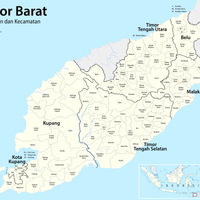
Kupang Regency, Administrative district in East Nusa Tenggara, Indonesia
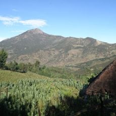
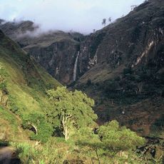
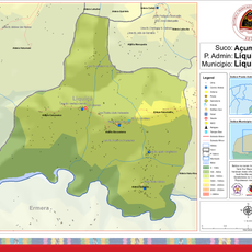
Kupang Regency is an administrative district covering western Timor Island and including Semau Island, with varied geographical terrain. The region spans different landforms, ranging from coastal flatlands to higher elevations inland.
The creation of East Nusa Tenggara Province in 1958 marked a turning point in the administrative structure of this region. This development shaped the governance framework that continues to guide the district today.
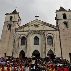
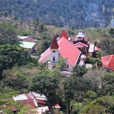
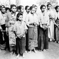
The Atoni, Manggarai, and Sumba people maintain their own traditions across this area, particularly through handwoven textiles and crafts visible in local markets and villages. The production of these textiles remains part of everyday life and shapes the character of many communities.
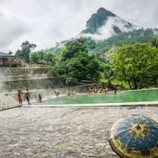
The local economy is primarily based on farming and fishing, with corn and marine resources serving as main income sources. Visitors can observe these activities in rural villages and coastal communities.
Though known as a single regency, the area actually divides into smaller administrative subdivisions spread across land and sea. This fragmentation makes it one of the more complex territories to manage within the province.
The community of curious travelers
AroundUs brings together thousands of curated places, local tips, and hidden gems, enriched daily by 60,000 contributors worldwide.