East Flores, Administrative region in East Nusa Tenggara, Indonesia.
East Flores is an administrative regency spanning the eastern tip of Flores Island along with the adjacent islands of Adonara and Solor. It comprises nineteen districts with numerous rural villages and urban centers connected through local transportation networks.
Portuguese traders established settlements in Larantuka in the early period, transforming it into a major hub for sandalwood trade in Southeast Asia. This early European presence left a lasting imprint on the region.
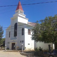
Strong Catholic traditions shape daily life here, expressed through the annual Semana Santa celebrations with processions and rituals during Holy Week in Larantuka. These observances are woven into the community's identity and shared values.
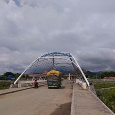
The regency is accessible via a local airport, making connections to other parts of Indonesia straightforward. The terrain is hilly and uneven, so exploration is best done using local transportation and flexible scheduling.
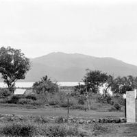
Mount Ile Mandiri towers above Larantuka, creating a natural wall that separates the capital from the rest of Flores Island. This geographic isolation has shaped local customs and ways of life for centuries.
The community of curious travelers
AroundUs brings together thousands of curated places, local tips, and hidden gems, enriched daily by 60,000 contributors worldwide.