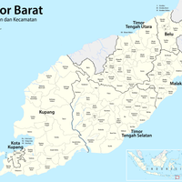
North Central Timor, Regional administrative center in East Nusa Tenggara, Indonesia.
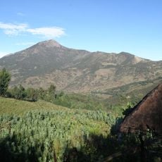
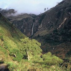
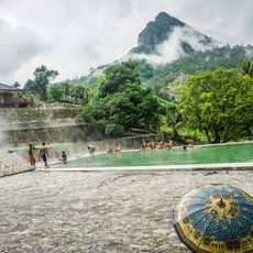
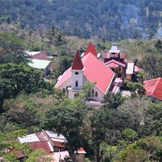
North Central Timor is a regency in East Nusa Tenggara characterized by volcanic mountains and river systems spread across several districts. The landscape features rolling hills and green valleys that open between the highlands.
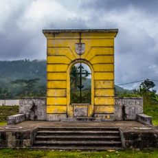
The region formed in 1958 from the consolidation of three historical kingdoms—Miomaffo, Insana, and Biboki—into a modern Indonesian regency. This merger marked the shift from traditional autonomous rule to centralized administration.
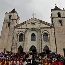
The territory is home to several ethnic groups including the Atoni and Dawan peoples, who maintain distinct languages and traditions that shape daily life and local celebrations.
The dry season offers the best conditions for traveling, as roads become more passable and the landscape is clearly visible. Small villages and local markets are accessible via rural roads that require patience and careful driving.
The region shares a land border with East Timor's Oecusse enclave, marking one of Indonesia's rare land boundaries with another nation. This geographic position gives the area special significance in the broader region.
Location: East Nusa Tenggara
Capital city: Kefamenanu
Elevation above the sea: 336 m
Shares border with: South Central Timor, Belu, Malaka, Kupang
GPS coordinates: -9.44667,124.47806
Latest update: December 7, 2025 19:27
Mount Ramelau
126.8 km
Mount Sirung
112.2 km
Lifau monument
32.4 km
Noefefan Bridge
32.1 km
Ave Maria church
86.5 km
Fort Santo António of Lifau
32.2 km
Bandeira Waterfall
119.9 km
Sacred Heart Cathedral, Maliana
95.7 km
Marobo hot springs
105.1 km
Fort Balibo
81.7 km
Reduto do Conselheiro Jacinto Cândido
77.8 km
Memorial do Dom Aleixo
124.1 km
Fort Concordia
127.2 km
Igreja de Nossa Senhora do Rosário, Pante Macassar
30 km
Carulema
129.8 km
Fatunero
130.6 km
Ergoa
129.8 km
Nossa Senhora de Fátima
123.9 km
Hatu-Hou
129.2 km
Caicasaico
127.2 km
Urluli
130.3 km
Manupatia
130 km
Lebu-Ae
130.5 km
Siscoelema
127.7 km
Quirilelo
127.1 km
Caileli
130.7 km
Igreja da Imaculada Conceição Bobonaro
103.7 km
Hatumatilu
127.8 kmVisited this place? Tap the stars to rate it and share your experience / photos with the community! Try now! You can cancel it anytime.
East Miomaffo
West Miomaffo
North Biboki
South Biboki
Biboki Anleu
Biboki Moenleu
Biboki Feotleu
Biboki Tan Pah
Noemuti
Kota Kefamenanu
Insana
North Insana
Miomaffo Tengah
Musi
Mutis
South Bikomi
Bikomi Tengah
Bikomi Nilulat
North Bikomi
Naibenu
Insana Fafinesu
West Insana
Insana Tengah
East Noemuti
Discover hidden gems everywhere you go!
From secret cafés to breathtaking viewpoints, skip the crowded tourist spots and find places that match your style. Our app makes it easy with voice search, smart filtering, route optimization, and insider tips from travelers worldwide. Download now for the complete mobile experience.
A unique approach to discovering new places❞
— Le Figaro
All the places worth exploring❞
— France Info
A tailor-made excursion in just a few clicks❞
— 20 Minutes